Skip to search
Skip to main content
Digital Commonwealth
Sign Up / Log In
Search for
Search
Search
Search
Basic
Advanced
Explore
Map
Collections
Institutions
Formats
For Educators
Primary Source Sets
Lesson Plans
Using Primary Sources
Searching Digital Commonwealth
For Institutions
Join Digital Commonwealth
Conferences, Trainings, & Events
How to Contribute Collections
Digitization Services
Board & Committees
Frequently Asked Questions
About
About Digital Commonwealth
News & Announcements
Copyright & Terms of Use
Harmful Content Statement
Partners
API
Contact Us
Boston Public Library
Norman B. Leventhal Map Center Collection
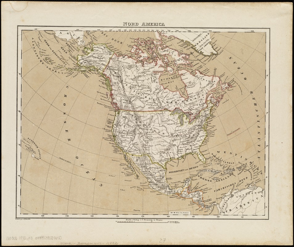
Nord America
Nord America
×
Item Information
Title:
Nord America
Creator:
Handtke, F. (Friedrich), 1815-1879
Name on Item:
entro. u. gez. v. F. Handtke.
Date:
[1870?]
Format:
Maps/Atlases
Location:
Boston Public Library
Norman B. Leventhal Map Center
Collection (local):
Norman B. Leventhal Map Center Collection
Subjects:
North America--Maps
Places:
North America
(area)
Extent:
1 map : hand col. ; 30 x 40 cm.
Permalink:
https://ark.digitalcommonwealth.org/ark:/50959/1257b9139
Terms of Use:
No known copyright restrictions.
No known restrictions on use.
Publisher:
Glogau : C. Flemming
Scale:
Scale [ca. 1:26,500,000].
Language:
German
Notes:
Relief shown by hachures.
From: Vollständiger Hand-Atlas der neueren Erdbeschreibung über alle Theile der Erde.
Identifier:
06_01_004742
Call #:
G3300 1870 .H3
Barcode:
39999059007250
show more...
View MODS XML
More Like This
America settle
Amerikanisch-Spanischer kriegsschauplatz
British possessions in North America
Carta universal en que se contiene todo lo que del mundo se ha ...
Find More Like This >>
Tools
Share
Facebook
Pinterest
X
Reddit
Tumblr
Email
Copy link
Add to Folder
Questions/Comments
Cite This Item
IIIF Manifest
Downloads
Primary (full resolution, uncompressed)
(TIF, 48.1 MB)
Large (full resolution)
(JPEG, 4.04 MB)
Medium
(JPEG, 288 KB)