Skip to search
Skip to main content
Digital Commonwealth
Sign Up / Log In
Search for
Search
Search
Search
Basic
Advanced
Explore
Map
Collections
Institutions
Formats
For Educators
Primary Source Sets
Lesson Plans
Using Primary Sources
Searching Digital Commonwealth
For Institutions
Join Digital Commonwealth
Conferences, Trainings, & Events
How to Contribute Collections
Digitization Services
Board & Committees
Frequently Asked Questions
About
About Digital Commonwealth
News & Announcements
Copyright & Terms of Use
Harmful Content Statement
Partners
API
Contact Us
Boston Public Library
Norman B. Leventhal Map Center Collection
City of Chicopee
City of Chicopee
×
Item Information
Title:
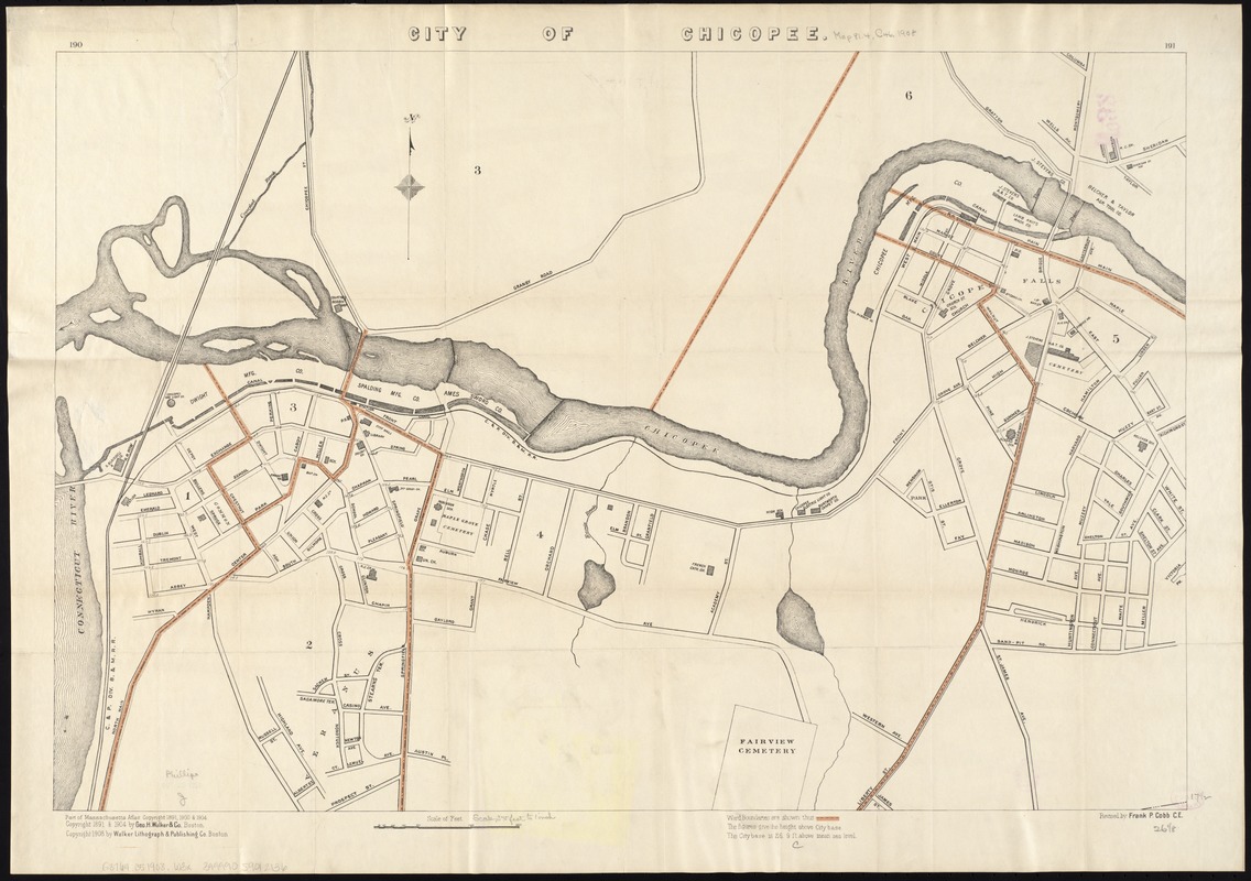
City of Chicopee
Title (alt.):
Latest map of Chicopee city Massachusetts
Creator:
Geo. H. Walker & Co
Name on Item:
revised by Frank P. Cobb, C.E.
Date:
[ca. 1908]
Format:
Maps/Atlases
Location:
Boston Public Library
Norman B. Leventhal Map Center
Collection (local):
Norman B. Leventhal Map Center Collection
Subjects:
Chicopee (Mass.)--Maps
Places:
Hampden (county)
>
Chicopee
Extent:
1 map : col. ; 45 x 66 cm.
Permalink:
https://ark.digitalcommonwealth.org/ark:/50959/1257bb85r
Terms of Use:
No known copyright restrictions.
No known restrictions on use.
Publisher:
Boston [Mass.] : Geo. H. Walker & Co.
Scale:
Scale [ca. 1:4,500].
Language:
English
Notes:
191 in upper right margin.
Part of the Massachusetts Atlas.
Includes ward boundaries.
Identifier:
06_01_005228
Call #:
G3764.C5 1908 .W3x
Barcode:
39999059012136
show more...
View MODS XML
More Like This
Combined map of Holyoke and Chicopee
Plan of Springfield
The Price & Lee Co's new map of the city of Holyoke and part of ...
Atlas of Massachusetts
Find More Like This >>
Tools
Share
Facebook
Pinterest
X
Reddit
Tumblr
Email
Copy link
Add to Folder
Questions/Comments
Cite This Item
IIIF Manifest
Downloads
Primary (full resolution, uncompressed)
(TIF, 97.2 MB)
Large (full resolution)
(JPEG, 8.16 MB)
Medium
(JPEG, 250 KB)