Skip to search
Skip to main content
Digital Commonwealth
Sign Up / Log In
Search for
Search
Search
Search
Basic
Advanced
Explore
Map
Collections
Institutions
Formats
For Educators
Primary Source Sets
Lesson Plans
Using Primary Sources
Searching Digital Commonwealth
For Institutions
Join Digital Commonwealth
Conferences, Trainings, & Events
How to Contribute Collections
Digitization Services
Board & Committees
Frequently Asked Questions
About
About Digital Commonwealth
News & Announcements
Copyright & Terms of Use
Harmful Content Statement
Partners
API
Contact Us
Boston Public Library
Norman B. Leventhal Map Center Collection
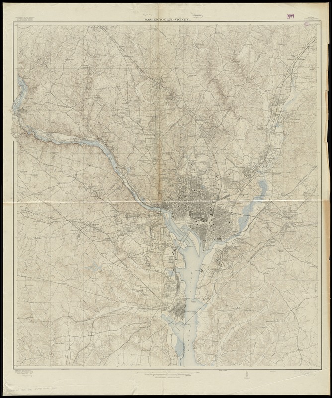
Washington and vicinity
Washington and vicinity
×
Item Information
Title:
Washington and vicinity
Creator:
Geological Survey (U.S.)
Name on Item:
U.S. Geological Survey.
Date:
[1917?]
Format:
Maps/Atlases
Location:
Boston Public Library
Norman B. Leventhal Map Center
Collection (local):
Norman B. Leventhal Map Center Collection
Subjects:
Washington (D.C.)--Maps
Washington Metropolitan Area--Maps
Places:
Washington
Extent:
1 map : col. ; 117 x 107 cm.
Permalink:
https://ark.digitalcommonwealth.org/ark:/50959/4m90f390b
Terms of Use:
No known copyright restrictions.
No known restrictions on use.
Publisher:
Washington : U.S. Geological Survey
Edition:
Ed. of 1917.
Scale:
Scale 1:31,680
Language:
English
Notes:
Relief shown by contours and spot heights.
Contour interval 10 ft.
"Surveyed in 1913-1915."
Identifier:
06_01_010825
Call #:
G3850 1917 .G46
Barcode:
39999065678441
show more...
View MODS XML
More Like This
Map of n. eastern Virginia and vicinity of Washington
Carte générale des États-Unis de l'Amérique avec les plans des ...
City of Washington
Colton's Georgetown and the city of Washington : the capital of ...
Find More Like This >>
Tools
Share
Facebook
Pinterest
X
Reddit
Tumblr
Email
Copy link
Add to Folder
Questions/Comments
Cite This Item
IIIF Manifest
Downloads
Primary (full resolution, uncompressed)
(TIF, 292 MB)
Large (full resolution)
(JPEG, 24.5 MB)
Medium
(JPEG, 210 KB)