Skip to search
Skip to main content
Digital Commonwealth
Sign Up / Log In
Search for
Search
Search
Search
Basic
Advanced
Explore
Map
Collections
Institutions
Formats
For Educators
Primary Source Sets
Lesson Plans
Using Primary Sources
Searching Digital Commonwealth
For Institutions
Join Digital Commonwealth
Conferences, Trainings, & Events
How to Contribute Collections
Digitization Services
Board & Committees
Frequently Asked Questions
About
About Digital Commonwealth
News & Announcements
Copyright & Terms of Use
Harmful Content Statement
Partners
API
Contact Us
Boston Public Library
Norman B. Leventhal Map Center Collection
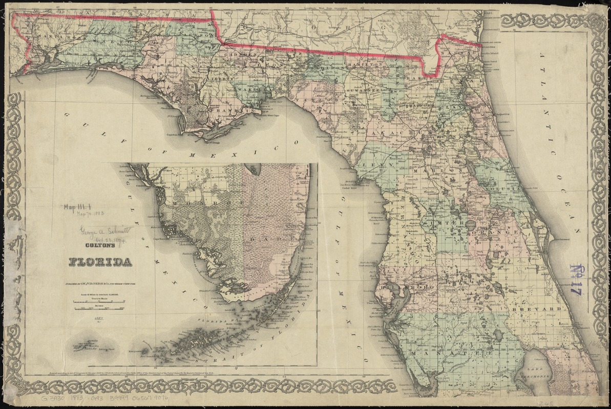
Colton's Florida
Coltons Florida
×
Item Information
Title:
Colton's Florida
Title (alt.):
Florida
Creator:
G.W. & C.B. Colton & Co
Date:
1883
Format:
Maps/Atlases
Location:
Boston Public Library
Norman B. Leventhal Map Center
Collection (local):
Norman B. Leventhal Map Center Collection
Subjects:
Florida--Maps
Places:
Florida
Extent:
1 map : hand col. ; 43 x 66 cm.
Permalink:
https://ark.digitalcommonwealth.org/ark:/50959/4m90f516g
Terms of Use:
No known copyright restrictions.
No known restrictions on use.
Publisher:
New York : G.W. and C.B. Colton
Scale:
Scale [ca. 1:1,140,000]
Language:
English
Notes:
Also shows land survey parcels.
Includes continuation inset of the southern part.
"Entered according to Act of Congress in the year 1868 by G.W. & C.B. Colton ..."
Identifier:
06_01_010945
Call #:
G3930 1883 .G93
Barcode:
39999065679076
show more...
View MODS XML
More Like This
Chart of the West Indies and Spanish Dominions in North America
Florida gebiet
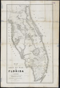
Map of the seat of war in Florida
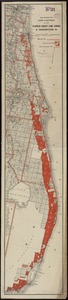
Map showing the lands & waterway of the Florida Coast Line Canal & ...
Find More Like This >>
Tools
Share
Facebook
Pinterest
X
Reddit
Tumblr
Email
Copy link
Add to Folder
Questions/Comments
Cite This Item
IIIF Manifest
Downloads
Primary (full resolution, uncompressed)
(TIF, 123 MB)
Large (full resolution)
(JPEG, 10.3 MB)
Medium
(JPEG, 408 KB)
GeoTIFF (georeferenced)
(TIF, 158 MB)