Skip to search
Skip to main content
Digital Commonwealth
Sign Up / Log In
Search for
Search
Search
Search
Basic
Advanced
Explore
Map
Collections
Institutions
Formats
For Educators
Primary Source Sets
Lesson Plans
Using Primary Sources
Searching Digital Commonwealth
For Institutions
Join Digital Commonwealth
Conferences, Trainings, & Events
How to Contribute Collections
Digitization Services
Board & Committees
Frequently Asked Questions
About
About Digital Commonwealth
News & Announcements
Copyright & Terms of Use
Harmful Content Statement
Partners
API
Contact Us
Boston Public Library
Norman B. Leventhal Map Center Collection
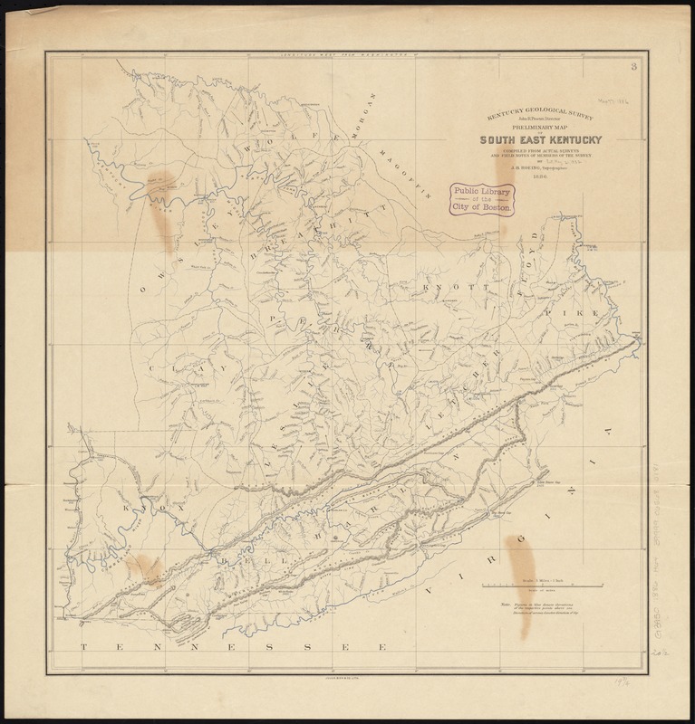
Preliminary map of south east Kentucky
Preliminary map of south east Kentucky
×
Item Information
Title:
Preliminary map of south east Kentucky
Creator:
Hoeing, J. B. (Joseph Bernard), 1855-
Name on Item:
compiled from actual surveys and field notes of members of the Survey by J.B. Hoeing, topographer.
Date:
1886
Format:
Maps/Atlases
Location:
Boston Public Library
Norman B. Leventhal Map Center
Collection (local):
Norman B. Leventhal Map Center Collection
Subjects:
Kentucky--Maps
Places:
Kentucky
Extent:
1 map : col. ; 53 x 51 cm.
Permalink:
https://ark.digitalcommonwealth.org/ark:/50959/4m90f6322
Terms of Use:
No known copyright restrictions.
No known restrictions on use.
Publisher:
[Frankfort, Ky.] : Kentucky Geological Survey
Scale:
Scale [1:316,800]. 5 miles = 1 in.
Language:
English
Notes:
Relief shown by hachures and spot heights.
Prime meridian: Washington.
Identifier:
06_01_011028
Call #:
G3950 1886 .H64
Barcode:
39999065680181
show more...
View MODS XML
More Like This
Kentuckey
Kentucky
Kentucky and Tennessee
Kentucky and Tennessee
Find More Like This >>
Tools
Share
Facebook
Pinterest
X
Reddit
Tumblr
Email
Copy link
Add to Folder
Questions/Comments
Cite This Item
IIIF Manifest
Downloads
Primary (full resolution, uncompressed)
(TIF, 52.6 MB)
Large (full resolution)
(JPEG, 4.42 MB)
Medium
(JPEG, 191 KB)