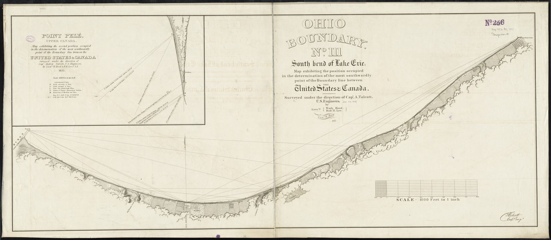
Ohio boundary no. 1 South Bend of Lake Michigan : map, exhibiting the position occupied in the determination of the latitude of the extreme south bend of Lake Michigan
Ohio boundary no. 1 South Bend of Lake Michigan
Item Information
Title:
Ohio boundary no. 1 South Bend of Lake Michigan : map, exhibiting the position occupied in the determination of the latitude of the extreme south bend of Lake Michigan
Title (alt.):
Map exhibiting the position occupied in the determination of the latitude of the extreme south bend of Lake Michigan
South bend of Lake Michigan
Shows narrow band of land along the southern coast of Lake Michigan near the Grand Calumic River; structures and vegetations, points of survey.
Includes references to the position occupied and notes.
From: Ohio and Michigan boundary ..., 1836. (Ex. Doc./HR 24th Congress, 1st Session, no. 54).
In lower left corner: [signed] A. Talcott, capt engr.