Skip to search
Skip to main content
Digital Commonwealth
Sign Up / Log In
Search for
Search
Search
Search
Basic
Advanced
Explore
Map
Collections
Institutions
Formats
For Educators
Primary Source Sets
Lesson Plans
Using Primary Sources
Searching Digital Commonwealth
For Institutions
Join Digital Commonwealth
Conferences, Trainings, & Events
How to Contribute Collections
Digitization Services
Board & Committees
Frequently Asked Questions
About
About Digital Commonwealth
News & Announcements
Copyright & Terms of Use
Harmful Content Statement
Partners
API
Contact Us
Boston Public Library
Norman B. Leventhal Map Center Collection
/
Urban Maps (Collection of Distinction)
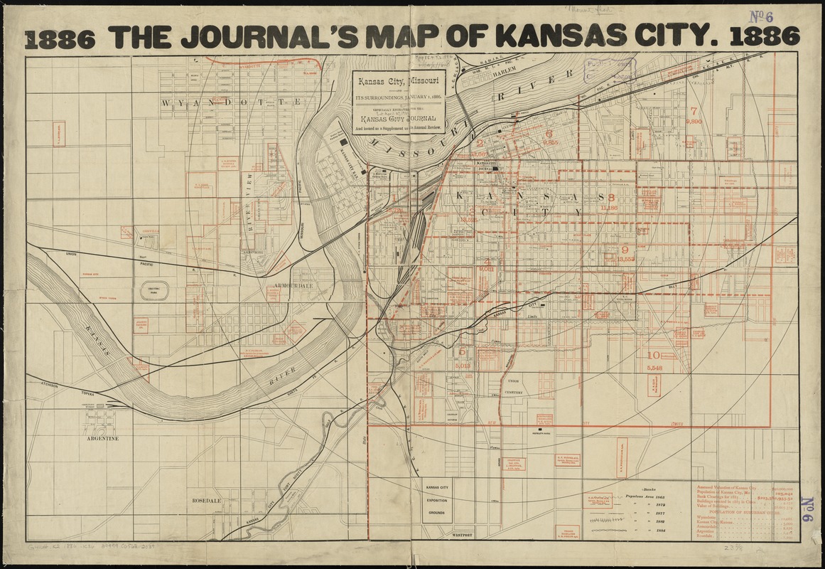
Kansas City, Missouri and its surroundings
Kansas City, Missouri and its surroundings
×
Item Information
Title:
Kansas City, Missouri and its surroundings
At head of title :
Journal's map of Kansas City
Date:
1886
Format:
Maps/Atlases
Location:
Boston Public Library
Norman B. Leventhal Map Center
Collection (local):
Norman B. Leventhal Map Center Collection
Subjects:
Railroads--Missouri--Kansas City--Maps
Railroads--Kansas--Kansas City--Maps
Real property--Missouri--Kansas City--Maps
Real property--Kansas--Kansas City--Maps
Kansas City (Mo.)--Maps
Kansas City (Kan.)--Maps
Places:
Wyandotte (county)
>
Kansas City
Extent:
1 map : color ; 53 x 83 cm
Permalink:
https://ark.digitalcommonwealth.org/ark:/50959/4m90fb03f
Terms of Use:
No known copyright restrictions.
No known restrictions on use.
Publisher:
[Kansas City, Mo.?] : [Kansas City Journal]
Scale:
Scale [ca. 1:14,200]
Language:
English
Notes:
Shows real estate, railroads, cable roads, and populous area in 1865, 1872, 1877, 1882, and 1884.
Includes statistics.
"Especially engraved for the Kansas City Journal and issued as a supplement to its annual review."
Identifier:
06_01_011246
Call #:
G4164.K2 1886 .K36
Barcode:
39999065682039
show more...
View MODS XML
More Like This
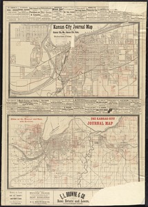
Kansas City journal map showing towns of Kansas City, Mo., Kansas ...
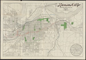
Kansas City railroads, belt line and switches : 1893-4
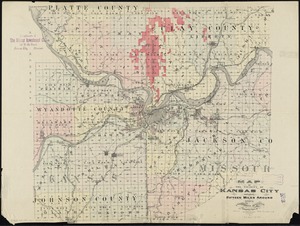
Map of the vicinity of Kansas City : including fifteen miles around
The 100th anniversary map of Abraham Lincoln's visit to ...
Find More Like This >>
Tools
Share
Facebook
Pinterest
X
Reddit
Tumblr
Email
Copy link
Add to Folder
Questions/Comments
Cite This Item
IIIF Manifest
Downloads
Primary (full resolution, uncompressed)
(TIF, 244 MB)
Large (full resolution)
(JPEG, 20.5 MB)
Medium
(JPEG, 347 KB)