Skip to search
Skip to main content
Digital Commonwealth
Sign Up / Log In
Search for
Search
Search
Search
Basic
Advanced
Explore
Map
Collections
Institutions
Formats
For Educators
Primary Source Sets
Lesson Plans
Using Primary Sources
Searching Digital Commonwealth
For Institutions
Join Digital Commonwealth
Conferences, Trainings, & Events
How to Contribute Collections
Digitization Services
Board & Committees
Frequently Asked Questions
About
About Digital Commonwealth
News & Announcements
Copyright & Terms of Use
Harmful Content Statement
Partners
API
Contact Us
Boston Public Library
Norman B. Leventhal Map Center Collection
/
Urban Maps (Collection of Distinction)
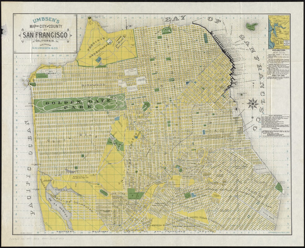
Umbsen's map of the City and County of San Francisco, California
Umbsens map of the City and County of San Francisco, California
×
Item Information
Title:
Umbsen's map of the City and County of San Francisco, California
Title (alt.):
Map of the City and County of San Francisco, Calif
Creator:
G.H. Umbsen & Co
Date:
[ca. 1898]
Format:
Maps/Atlases
Location:
Boston Public Library
Norman B. Leventhal Map Center
Collection (local):
Norman B. Leventhal Map Center Collection
Subjects:
San Francisco (Calif.)--Maps
San Francisco Bay Area (Calif.)--Maps
Places:
San Francisco (county)
Extent:
1 map : col. ; 59 x 73 cm.
Permalink:
https://ark.digitalcommonwealth.org/ark:/50959/4m90fc391
Terms of Use:
No known copyright restrictions.
No known restrictions on use.
Publisher:
[San Francisco?] : G.H. Umbsen & Co.
Scale:
Scale [1:21,120]. 1,760 ft. - 1 in.
Language:
English
Notes:
Relief shown by hachures.
Shows drainage, block numbers, wharves, public buildings, tract names, radial distances from Ferry building, railroads, street car lines, acreage, etc.
Marked for indexing.
Inset: General view of San Francisco Bay.
Identifier:
06_01_011416
Call #:
G4364.S5 1898 .G42
Barcode:
39999065685859
show more...
View MODS XML
More Like This
Bancroft's official guide map of city and county of San Francisco
Map of California Pacific Railroad : showing its relative position ...
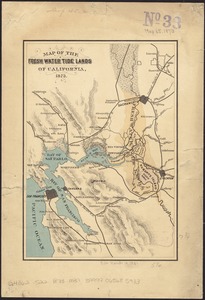
Map of the fresh water tide lands of California
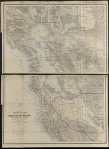
Map of the region adjacent to the Bay of San Francisco
Find More Like This >>
Tools
Share
Facebook
Pinterest
X
Reddit
Tumblr
Email
Copy link
Add to Folder
Questions/Comments
Cite This Item
IIIF Manifest
Downloads
Primary (full resolution, uncompressed)
(TIF, 75.8 MB)
Large (full resolution)
(JPEG, 6.37 MB)
Medium
(JPEG, 381 KB)
GeoTIFF (georeferenced)
(TIF, 101 MB)