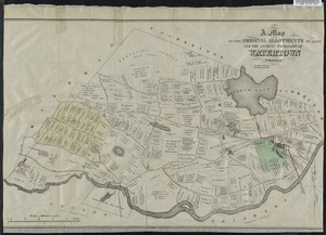
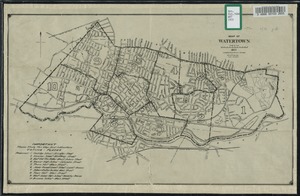
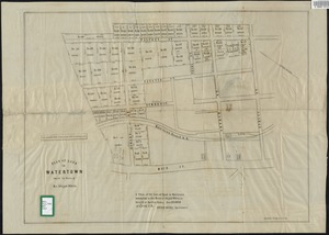
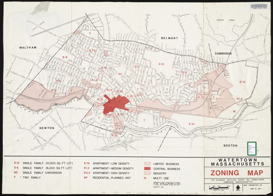
Watertown, Massachusetts zoning map
Item Information
- Title:
- Watertown, Massachusetts zoning map
- Date:
-
1971
- Format:
-
Maps/Atlases
- Location:
- Watertown Free Public Library
- Collection (local):
-
Watertown Free Public Library Local History Collection
- Subjects:
-
City planning
- Places:
-
MassachusettsMiddlesex (county)Watertown
- Extent:
- 1 map : 51 x 71 cm.
- Permalink:
- https://ark.digitalcommonwealth.org/ark:/50959/5m60r4557
- Terms of Use:
-
Rights status not evaluated.
This work is licensed for use under a Creative Commons Attribution Non-Commercial No Derivatives License (CC BY-NC-ND).