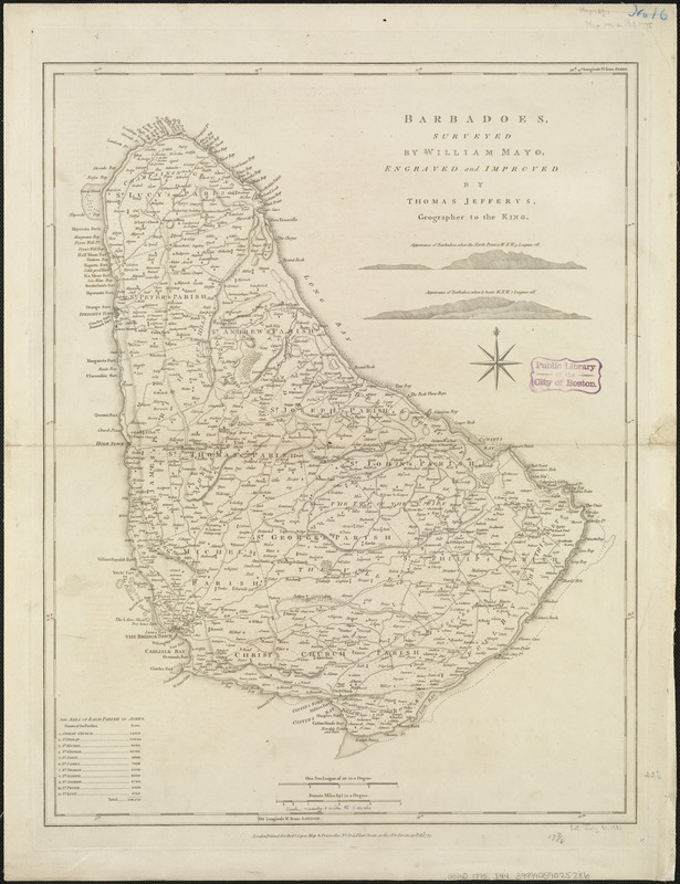
Relief shown by hachures.
Shows forested areas, shoals, parish boundaries, forts, churches, landowners with sugar processing facilities, etc.
Includes 2 island profiles and listing of "The area of each parish in acres."
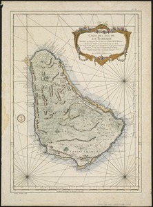
"Printed for Robt. Sayer, Map & Printseller, no. 53 in Fleet Street, as the Act directs 20 Feby. 1775."
Prime meridians: Ferro and London.
Appears in the author's West-India atlas. London : Robert Sayer and John Bennett, 1783 [i.e. 1788].
Cataloging, conservation, and digitization made possible in part by The National Endowment for the Humanities: Exploring the human endeavor.