Skip to search
Skip to main content
Digital Commonwealth
Sign Up / Log In
Search for
Search
Search
Search
Basic
Advanced
Explore
Map
Collections
Institutions
Formats
For Educators
Primary Source Sets
Lesson Plans
Using Primary Sources
Searching Digital Commonwealth
For Institutions
Join Digital Commonwealth
Conferences, Trainings, & Events
How to Contribute Collections
Digitization Services
Board & Committees
Frequently Asked Questions
About
About Digital Commonwealth
News & Announcements
Copyright & Terms of Use
Harmful Content Statement
Partners
API
Contact Us
Lucius Beebe Memorial Library
Lucius Beebe Memorial Library Historic Maps
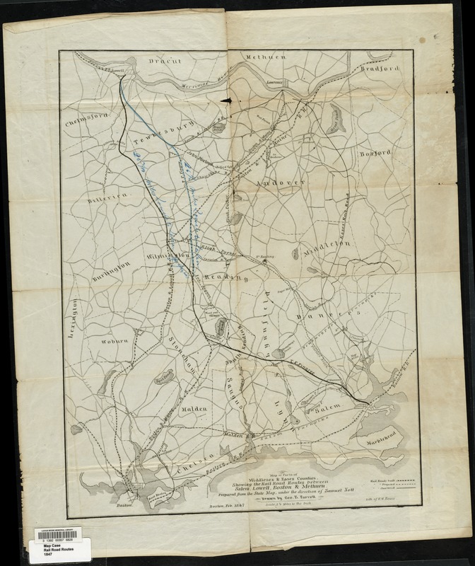
Map of parts of Middlesex & Essex counties showing the rail road routes between Salem, Lowell, Boston & Methuen
Map of parts of Middlesex & Essex counties showing the rail road routes between Salem, Lowell, Boston & Methuen
×
Item Information
Title:
Map of parts of Middlesex & Essex counties showing the rail road routes between Salem, Lowell, Boston & Methuen
Creator:
Parrott, George B.
Engineer:
Nott, Samuel
Lithographer:
Bouvé, Ephraim W., 1817-1897
Name on Item:
prepared from the state map, under the direction of Samuel Nott drawn by Geo. B. Parrott.
Date:
1847
Format:
Maps/Atlases
Location:
Lucius Beebe Memorial Library
Collection (local):
Lucius Beebe Memorial Library Historic Maps
Subjects:
Railroads
Places:
Essex (county)
Middlesex (county)
Extent:
1 map ; 50 x 39 cm.
Permalink:
https://ark.digitalcommonwealth.org/ark:/50959/c534g3670
Terms of Use:
No known copyright restrictions.
No known restrictions on use.
Publisher:
Boston : Lith of E.W. Bouvé
Scale:
Scale [1:79,200]
Language:
English
Notes:
Covers also part of Suffolk County.
Map depicts parts of Essex and Middlesex counties, showing town boundaries, bodies of water, turnpikes and major town roads, and built and proposed rail road lines. Proposed lines are handcolored for emphasis.
Notes (date):
"Feb. 1847."
Call #:
Local History Map Case Rail Road Routes 1847
Barcode:
31392003576828
show more...
View MODS XML
More Like This
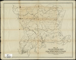
Location of the Boston & Maine extension rail road : from Boston ...
Map of parts of Essex & part of Middlesex counties, showing the ...
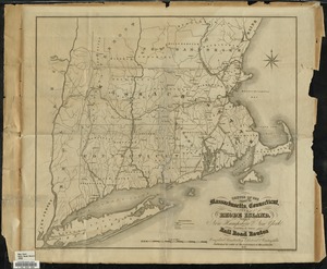
Sketch of the states of Massachusetts, Connecticut, and Rhode ...
1939
Find More Like This >>
Tools
Share
Facebook
Pinterest
X
Reddit
Tumblr
Email
Copy link
Add to Folder
Questions/Comments
Cite This Item
IIIF Manifest
Downloads
Primary (full resolution, uncompressed)
(TIF, 127 MB)
Large (full resolution)
(JPEG, 10.7 MB)
Medium
(JPEG, 195 KB)