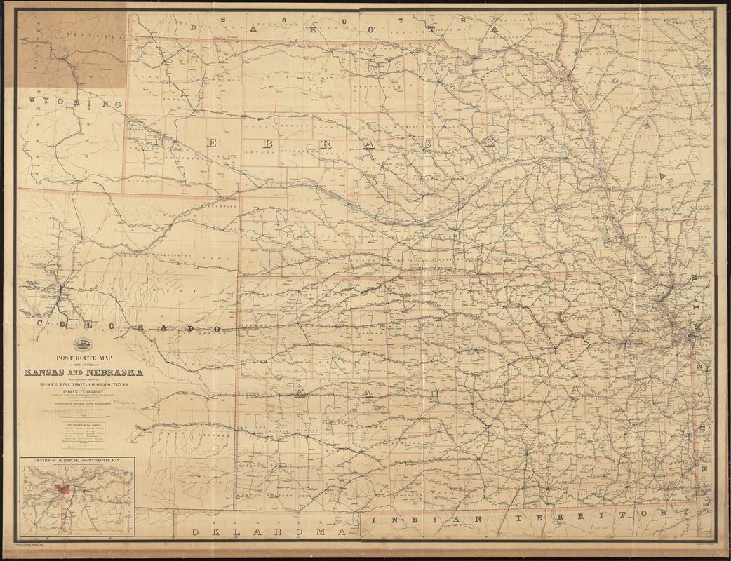
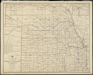
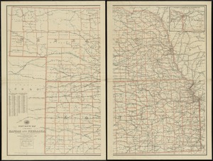
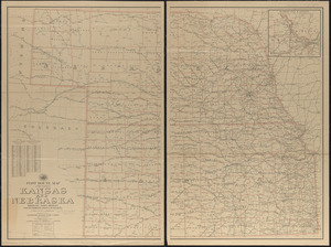
Post route map of the states of Kansas and Nebraska with adjacent parts of Missouri, Iowa, Dakota, Colorado, Texas, and Indian Territory showing post offices with the intermediate distances and mail routes in operation on the 1st. of October 1891
Post route map of the states of Kansas and Nebraska with adjacent parts of Missouri, Iowa, Dakota, Colorado, Texas, and Indian Territory showing post offices with the intermediate distances and mail routes in operation on the 1st. of October 1891
Item Information
Title:
Post route map of the states of Kansas and Nebraska with adjacent parts of Missouri, Iowa, Dakota, Colorado, Texas, and Indian Territory showing post offices with the intermediate distances and mail routes in operation on the 1st. of October 1891
published by order of Postmaster General John Wanamaker under the direction of C. Roeser, Jr., topographer P.O. Dept. ; drawing and lettering by Ferdinand A. Rock ; compilation by A. v. Haake.