Skip to search
Skip to main content
Digital Commonwealth
Sign Up / Log In
Search for
Search
Search
Search
Basic
Advanced
Explore
Map
Collections
Institutions
Formats
For Educators
Primary Source Sets
Lesson Plans
Using Primary Sources
Searching Digital Commonwealth
For Institutions
Join Digital Commonwealth
Conferences, Trainings, & Events
How to Contribute Collections
Digitization Services
Board & Committees
Frequently Asked Questions
About
About Digital Commonwealth
News & Announcements
Copyright & Terms of Use
Harmful Content Statement
Partners
API
Contact Us
Boston Public Library
Norman B. Leventhal Map Center Collection
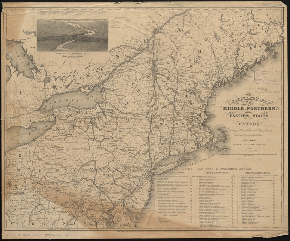
Traveller's map of the middle, northern, eastern states and Canada showing all the railroad, steamboat, canal, and principal stage routes
Travellers map of the middle, northern, eastern states and Canada showing all the railroad, steamboat, canal, and principal stage routes
×
Item Information
Title:
Traveller's map of the middle, northern, eastern states and Canada showing all the railroad, steamboat, canal, and principal stage routes
Creator:
Disturnell, John, 1801-1877
Date:
1850
Format:
Maps/Atlases
Location:
Boston Public Library
Norman B. Leventhal Map Center
Collection (local):
Norman B. Leventhal Map Center Collection
Subjects:
Canals--Northeastern States--Maps
Railroads--Northeastern States--Maps
Stagecoach lines--Northeastern States--Maps
Steamboat lines--Northeastern States--Maps
Northeastern States--Maps
Places:
Northeastern United States
(area)
Extent:
1 map ; 46 x 60 cm.
Permalink:
https://ark.digitalcommonwealth.org/ark:/50959/cj82kp051
Terms of Use:
No known copyright restrictions.
No known restrictions on use.
Publisher:
New York : J. Disturnell
Scale:
Scale [ca. 1:2,025,000]
Language:
English
Notes:
Prime meridians: Washington and Greenwich.
Relief shown by hachures.
Includes view of Niagara River and table of "canal, rail road & steamboat routes."
Identifier:
06_01_009184
Call #:
G3711.P1 1850 .D57x
Barcode:
39999065660753
show more...
View MODS XML
More Like This
The health and pleasure resorts of New York and New England, the ...
Map of Cleveland & Toledo Rail Road, with its connections
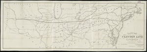
Map of the Clinton Line Railroad and its connections
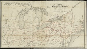
Map of the Sunbury and Erie Rail Road and its connections
Find More Like This >>
Tools
Share
Facebook
Pinterest
X
Reddit
Tumblr
Email
Copy link
Add to Folder
Questions/Comments
Cite This Item
IIIF Manifest
Downloads
Primary (full resolution, uncompressed)
(TIF, 133 MB)
Large (full resolution)
(JPEG, 11.2 MB)
Medium
(JPEG, 338 KB)