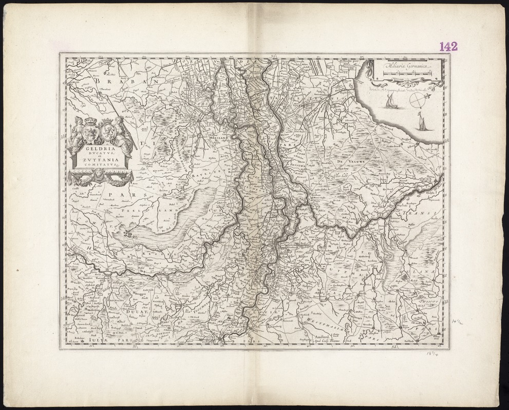
Map of the historical Duchy of Guelders in southern Netherlands.
Relief shown pictorially.
Oriented with north toward the upper right.
Variant "c" according to Koeman-Krogt. Koeman's Atlantes Neerlandici, [3700:2].
Cataloging, conservation, and digitization made possible in part by The National Endowment for the Humanities: Exploring the human endeavor.
Part of composite portfolio atlas with title "Collection of old maps."