New map of Boston, comprising the whole city, with the new boundaries of the wards
New map of Boston, comprising the whole city, with the new boundaries of the wards
Item Information
Title:
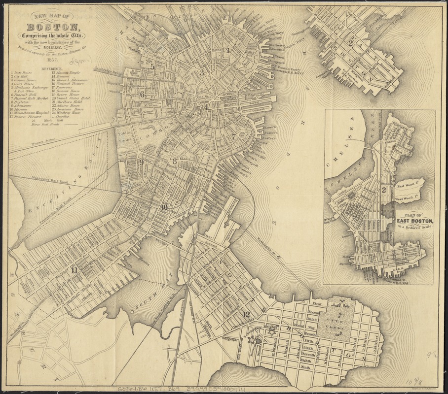
New map of Boston, comprising the whole city, with the new boundaries of the wards
Description:
Prior to the Civil War, the area west of the Public Garden was marshland, as depicted in this 1857 map. By the late 1840s, the marsh had become so polluted it was considered a health hazard, and officials had no choice but to act. The solution was to fill in the quagmire, in a land reclamation project that would double the size of the original Boston peninsula. The project began in 1858 and finished in 1882.