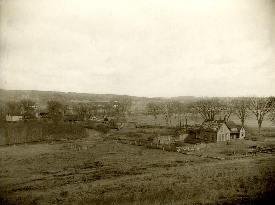
View from Lower Prospect Street showing the area of the valley with the beginnings of the deconstruction of the buildings to make way for the Wachusett Reservoir. Note the stacked lumber and piles of tree lengths surrounding the farm in the foreground. To the left of the image is the Nashua River and the stone bridge as well as the Massachusetts Central Railroad tracks and station with the hotel beyond.
Rights status not evaluated.
Contact host institution for more information.
Notes:
Is part of the Sargent collection of photographs and hand-drawn maps detailing the buildings surrounding the center of West Boylston duringthe period of 1895-1905. Presented to the Beaman Memorial Library, West Boylston, Mass. http://www.beamanlibrary.org/ on August 27, 1963 byMiss Martha A. Sargent.