Skip to search
Skip to main content
Digital Commonwealth
Sign Up / Log In
Search for
Search
Search
Search
Basic
Advanced
Explore
Map
Collections
Institutions
Formats
For Educators
Primary Source Sets
Lesson Plans
Using Primary Sources
Searching Digital Commonwealth
For Institutions
Join Digital Commonwealth
Conferences, Trainings, & Events
How to Contribute Collections
Digitization Services
Board & Committees
Frequently Asked Questions
About
About Digital Commonwealth
News & Announcements
Copyright & Terms of Use
Harmful Content Statement
Partners
API
Contact Us
Boston Public Library
Norman B. Leventhal Map Center Collection
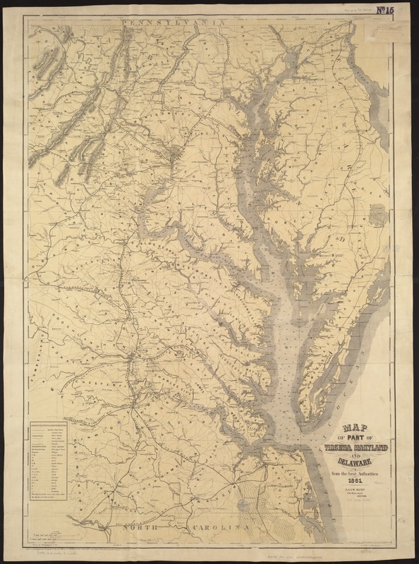
Map of part of Virginia, Maryland and Delaware from the best authorities
Map of part of Virginia, Maryland and Delaware from the best authorities
×
Item Information
Title:
Map of part of Virginia, Maryland and Delaware from the best authorities
Creator:
Heyne, Chas. (Charles)
Name on Item:
compiled from official sources & drawn by Chas. Heyne C.E.
Date:
1861
Format:
Maps/Atlases
Location:
Boston Public Library
Norman B. Leventhal Map Center
Collection (local):
Norman B. Leventhal Map Center Collection
Subjects:
Middle Atlantic States--Maps
Places:
Middle Atlantic
(area)
Extent:
1 map : col. ; 97 x 66 cm.
Permalink:
https://ark.digitalcommonwealth.org/ark:/50959/kk91fs84v
Terms of Use:
No known copyright restrictions.
No known restrictions on use.
Publisher:
New York : E. & G.W. Blunt
Scale:
Scale ca. 1:400,000.
Language:
English
Notes:
Another issue.
Lithographer's name has been dropped. Forts Corcoran, Runyon, Albany, and Ellsworth are shown on the Virginia side of the Potomac River at Washington, DC.
Description derived from published bibliography.
Identifier:
06_01_007472
Call #:
G3790 1861 .H49
Barcode:
39999059031755
LCCN:
99447000
show more...
View MODS XML
More Like This
Colton's Georgetown and the city of Washington : the capital of ...
A descriptive map of the region within one hundred miles of the ...
Kaart van Nieuw Nederland : behoorende tot de door het Provinciaal ...
The Keystone group : a new railroad, post-office, township and ...
Find More Like This >>
Tools
Share
Facebook
Pinterest
X
Reddit
Tumblr
Email
Copy link
Add to Folder
Questions/Comments
Cite This Item
IIIF Manifest
Downloads
Primary (full resolution, uncompressed)
(TIF, 227 MB)
Large (full resolution)
(JPEG, 19.1 MB)
Medium
(JPEG, 206 KB)