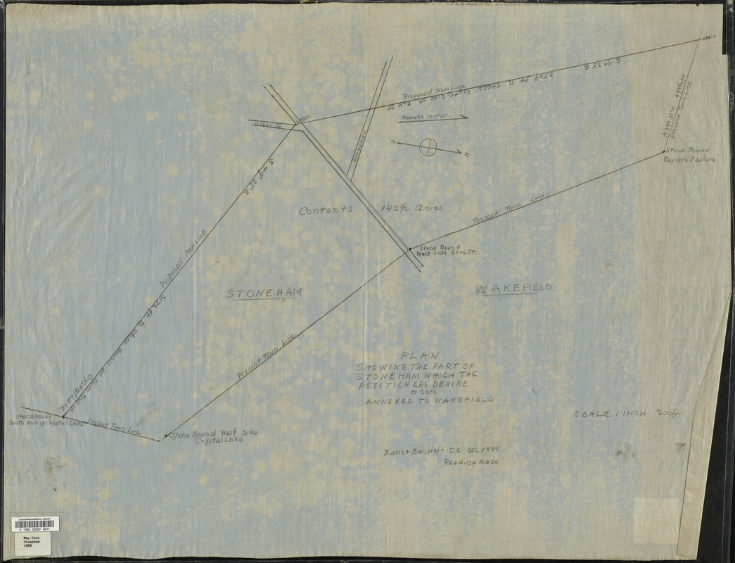
Map depicts a parcel of 142.5 acres on the east side of Stoneham, bordering Wakefield, showing streets and surveyed boundaries. The proposed annexation was approved by the state Legislature in 1889 and the parcel became part of the Wakefield Park section of Wakefield. depicts Wakefield, Stoneham, Reading, Lynnfield, and the southern part of North Reading in 1907, showing streets, bodies of water, hills, railroad stations and lines, and post offices.