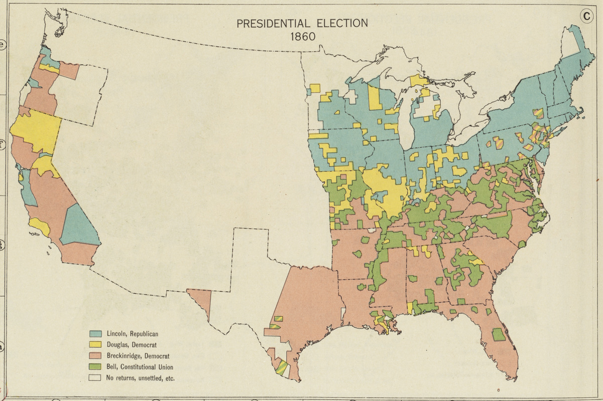
These reconstructed maps, precursors to contemporary news maps which provide instantaneous updates to election returns, depict the results of the Presidential election in 1860. This map, which was prepared for the nation’s first historical atlas, highlights the political tensions that underlay the strong sectional differences contributing to the Civil War. The 1860 race, won by Republican Abraham Lincoln, had four major candidates, two supported by the North and two by the South.