Skip to search
Skip to main content
Digital Commonwealth
Sign Up / Log In
Search for
Search
Search
Search
Basic
Advanced
Explore
Map
Collections
Institutions
Formats
For Educators
Primary Source Sets
Lesson Plans
Using Primary Sources
Searching Digital Commonwealth
For Institutions
Join Digital Commonwealth
Conferences, Trainings, & Events
How to Contribute Collections
Digitization Services
Board & Committees
Frequently Asked Questions
About
About Digital Commonwealth
News & Announcements
Copyright & Terms of Use
Harmful Content Statement
Partners
API
Contact Us
Lenox Library Association
Local History Photograph Collection
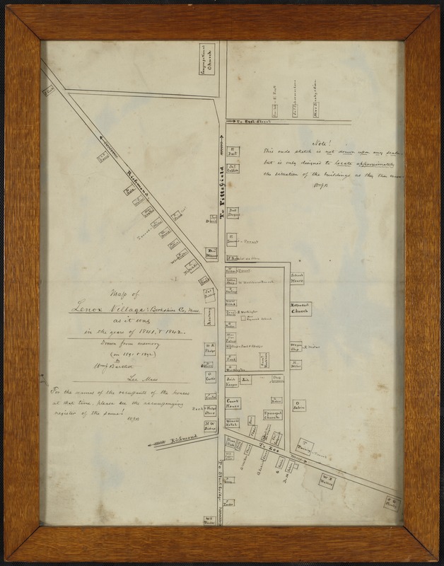
Map of Lenox Village: Berkshire County, Mass. as it was in the years of 1841 and 1842
Map of Lenox Village: Berkshire County, Mass. as it was in the years of 1841 and 1842
×
Item Information
Title:
Map of Lenox Village: Berkshire County, Mass. as it was in the years of 1841 and 1842
Name on Item:
Drawn from memory by Wm. J. Bartlett
Date:
[ca. 1891–1892]
Format:
Maps/Atlases
Location:
Lenox Library Association
Special Collections
Special Collections Vault (shelf locator)
Collection (local):
Local History Photograph Collection
Series:
Maps and Drawings
Subjects:
Cities and towns
Places:
Massachusetts
>
Berkshire (county)
>
Lenox
Extent:
1 ms. map ; in frame 61 x 46 cm.
Permalink:
https://ark.digitalcommonwealth.org/ark:/50959/st74d106n
Terms of Use:
Rights status not evaluated.
Contact host institution for more information.
Notes:
Title from item.
Preferred Citation:
Courtesy of the Lenox Library Association.
Notes (date):
Date from item.
Accession #:
BFB.13
show more...
View MODS XML
More Like This
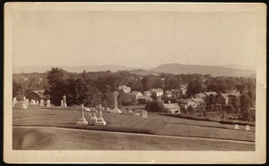
Church on the Hill: cemetery
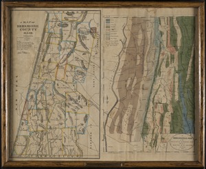
A geological map of the county of Berkshire, Mass. and of a small ...
Lenox
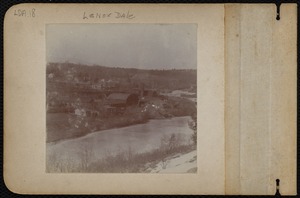
Lenox Dale
Find More Like This >>
Tools
Share
Facebook
Pinterest
X
Reddit
Tumblr
Email
Copy link
Add to Folder
Questions/Comments
Cite This Item