Skip to search
Skip to main content
Digital Commonwealth
Sign Up / Log In
Search for
Search
Search
Search
Basic
Advanced
Explore
Map
Collections
Institutions
Formats
For Educators
Primary Source Sets
Lesson Plans
Using Primary Sources
Searching Digital Commonwealth
For Institutions
Join Digital Commonwealth
Conferences, Trainings, & Events
How to Contribute Collections
Digitization Services
Board & Committees
Frequently Asked Questions
About
About Digital Commonwealth
News & Announcements
Copyright & Terms of Use
Harmful Content Statement
Partners
API
Contact Us
Boston Public Library
Norman B. Leventhal Map Center Collection
/
Boston and New England Maps (Collection of Distinction)
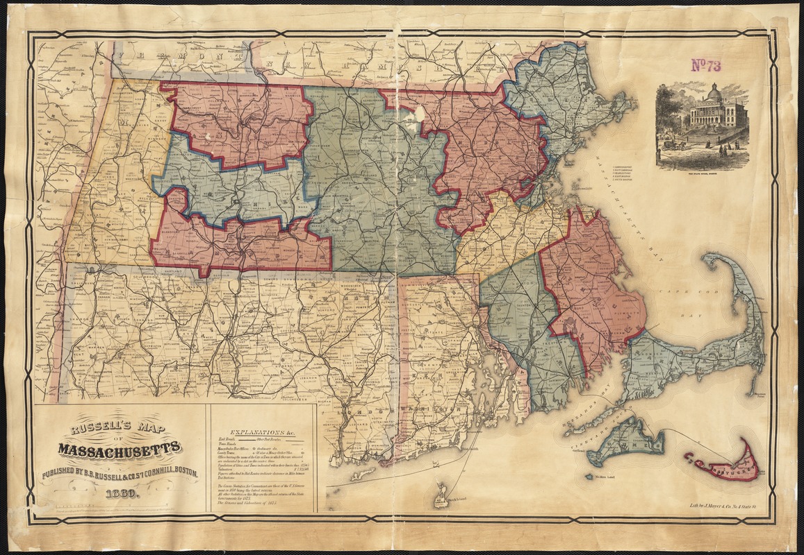
Russell's map of Massachusetts
Russells map of Massachusetts
×
Item Information
Title:
Russell's map of Massachusetts
Creator:
B.B. Russell & Co
Date:
1880
Format:
Maps/Atlases
Location:
Boston Public Library
Norman B. Leventhal Map Center
Collection (local):
Norman B. Leventhal Map Center Collection
Subjects:
Massachusetts--Maps
Places:
Massachusetts
Extent:
1 map : col. ; 52 x 79 cm.
Permalink:
https://ark.digitalcommonwealth.org/ark:/50959/wd376598f
Terms of Use:
No known copyright restrictions.
No known restrictions on use.
Publisher:
Boston, Mass : B.B. Russell & Co.
Scale:
Scale [ca. 1:396,000]
Language:
English
Notes:
Includes index and vignette of the State House, Boston.
Lith by J. Mayer & Co.
"Entered according to Act of Congress in the year 1876 by Cook and Ellis in the Office of the Librarian of Congress at Washington, D.C."
Identifier:
06_01_002617
Call #:
G3760 1880 .R8
Barcode:
39999058996115
show more...
View MODS XML
More Like This
The 100th anniversary map of Abraham Lincoln's visit to ...
Annexation map
Automobile map of Massachusetts : central section
Bicycle map of Massachusetts
Find More Like This >>
Tools
Share
Facebook
Pinterest
X
Reddit
Tumblr
Email
Copy link
Add to Folder
Questions/Comments
Cite This Item
IIIF Manifest
Downloads
Primary (full resolution, uncompressed)
(TIF, 193 MB)
Large (full resolution)
(JPEG, 16.2 MB)
Medium
(JPEG, 415 KB)
GeoTIFF (georeferenced)
(TIF, 237 MB)