Skip to search
Skip to main content
Digital Commonwealth
Sign Up / Log In
Search for
Search
Search
Search
Basic
Advanced
Explore
Map
Collections
Institutions
Formats
For Educators
Primary Source Sets
Lesson Plans
Using Primary Sources
Searching Digital Commonwealth
For Institutions
Join Digital Commonwealth
Conferences, Trainings, & Events
How to Contribute Collections
Digitization Services
Board & Committees
Frequently Asked Questions
About
About Digital Commonwealth
News & Announcements
Copyright & Terms of Use
Harmful Content Statement
Partners
API
Contact Us
Boston Public Library
Norman B. Leventhal Map Center Collection
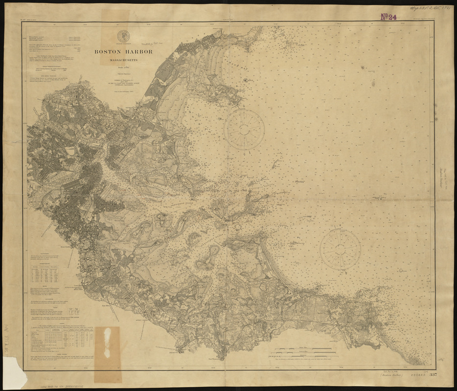
Boston Harbor, Massachusetts
Boston Harbor, Massachusetts
×
Item Information
Title:
Boston Harbor, Massachusetts
Creator:
U.S. Coast and Geodetic Survey
Date:
1901
Format:
Maps/Atlases
Location:
Boston Public Library
Norman B. Leventhal Map Center
Collection (local):
Norman B. Leventhal Map Center Collection
Subjects:
Nautical charts
Boston (Mass.)--Harbor--Maps
Places:
Boston Harbor
Extent:
1 map ; 73 x 86 cm.
Permalink:
https://ark.digitalcommonwealth.org/ark:/50959/3f463677m
Terms of Use:
No known copyright restrictions.
No known restrictions on use.
Publisher:
Washington : [s.n.]
Scale:
Scale 1:40,000
Language:
English
Identifier:
06_01_004100
Call #:
G3762.B65P5 1901 .U5x
Barcode:
39999059003705
show more...
View MODS XML
More Like This
U.S. North Pacific Surveying Expedition ... Amakirima Group with ...
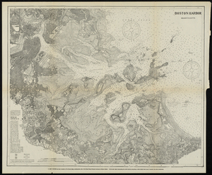
Boston Harbor, Massachusetts
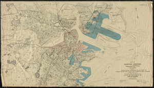
Map of Boston Proper. Charlestown, South Boston and East Boston ...
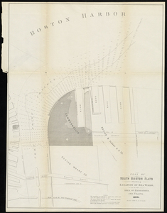
Plan of South Boston Flats Showing Location of Sea Walls and Area ...
Find More Like This >>
Tools
Share
Facebook
Pinterest
X
Reddit
Tumblr
Email
Copy link
Add to Folder
Questions/Comments
Cite This Item
IIIF Manifest
Downloads
Primary (full resolution, uncompressed)
(TIF, 198 MB)
Large (full resolution)
(JPEG, 16.6 MB)
Medium
(JPEG, 298 KB)