Skip to search
Skip to main content
Digital Commonwealth
Sign Up / Log In
Search for
Search
Search
Search
Basic
Advanced
Explore
Map
Collections
Institutions
Formats
For Educators
Primary Source Sets
Lesson Plans
Using Primary Sources
Searching Digital Commonwealth
For Institutions
Join Digital Commonwealth
Conferences, Trainings, & Events
How to Contribute Collections
Digitization Services
Board & Committees
Frequently Asked Questions
About
About Digital Commonwealth
News & Announcements
Copyright & Terms of Use
Harmful Content Statement
Partners
API
Contact Us
Franklin Historical Museum
Maps of Franklin, Massachusetts
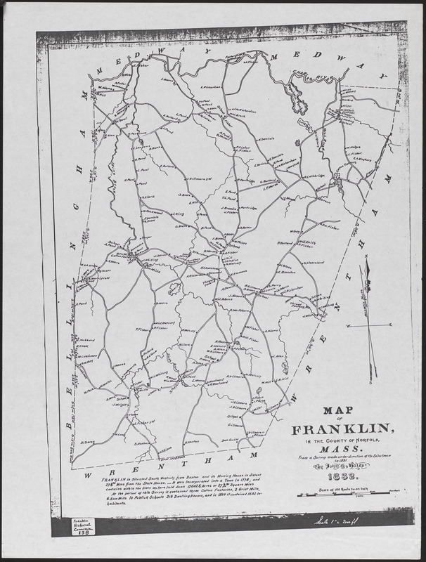
Map of Franklin, in the county of Norfolk, Mass.
Map of Franklin, in the county of Norfolk, Mass.
×
Item Information
Title:
Map of Franklin, in the county of Norfolk, Mass.
Surveyor:
Hales, John Groves
Name on Item:
From a survey made under direction of the Selectmen by John G. Hales
Date:
1832
Format:
Maps/Atlases
Location:
Franklin Historical Museum
Collection (local):
Holdings of the Franklin Historical Museum
Places:
Massachusetts
>
Norfolk (county)
>
Franklin
Extent:
1 map ; 53 x 39 cm
Permalink:
https://ark.digitalcommonwealth.org/ark:/50959/4j03dh102
Terms of Use:
No known copyright restrictions.
No known restrictions on use.
Scale:
Scale 1:19,800
Language:
English
Notes:
Title from item.
Notes (date):
Date from item.
Notes (object):
Map is a photocopy of the original
Identifier:
0003
show more...
View MODS XML
More Like This
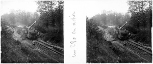
Un 280 en action
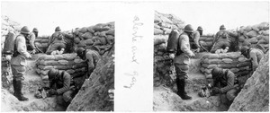
Alerte aux gaz
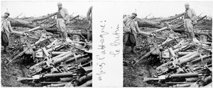
Après l'attaque: le butin
L'assemblée après l'attaque
Find More Like This >>
Tools
Share
Facebook
Pinterest
X
Reddit
Tumblr
Email
Copy link
Add to Folder
Questions/Comments
Cite This Item
Downloads
Primary (full resolution, uncompressed)
(TIF, 250 MB)
Large (full resolution)
(JPEG, 21 MB)
Medium
(JPEG, 183 KB)