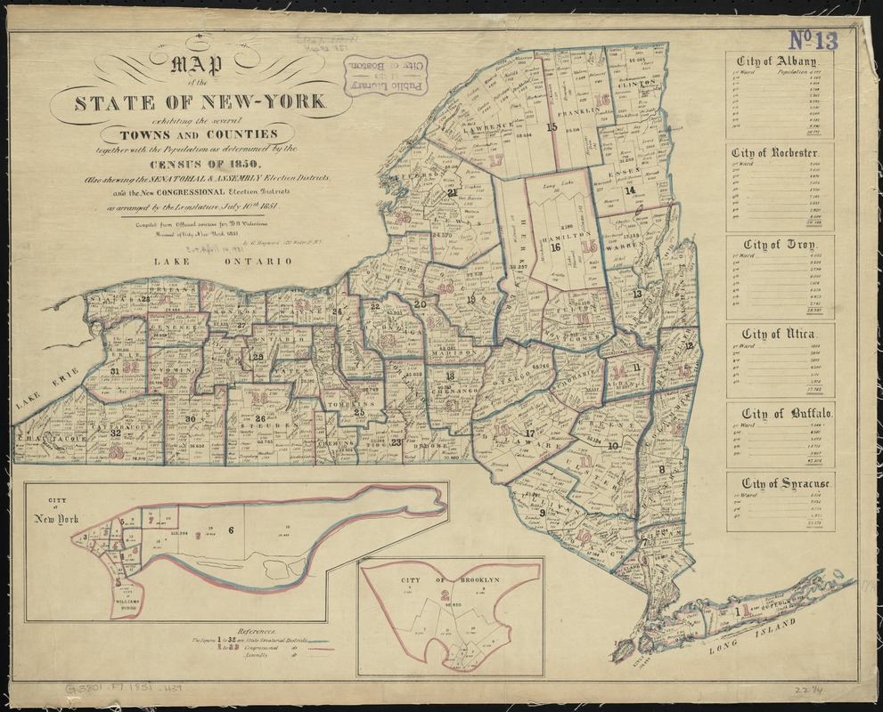
Map of the State of New-York exhibiting the several towns and counties together with the population as determined by the census of 1850, also shweing the senatorial & assembly election districts, and the new congressional election districts
Map of the State of New-York exhibiting the several towns and counties together with the population as determined by the census of 1850, also shweing the senatorial & assembly election districts, and the new congressional election districts
Item Information
Title:
Map of the State of New-York exhibiting the several towns and counties together with the population as determined by the census of 1850, also shweing the senatorial & assembly election districts, and the new congressional election districts