Skip to search
Skip to main content
Digital Commonwealth
Sign Up / Log In
Search for
Search
Search
Search
Basic
Advanced
Explore
Map
Collections
Institutions
Formats
For Educators
Primary Source Sets
Lesson Plans
Using Primary Sources
Searching Digital Commonwealth
For Institutions
Join Digital Commonwealth
Conferences, Trainings, & Events
How to Contribute Collections
Digitization Services
Board & Committees
Frequently Asked Questions
About
About Digital Commonwealth
News & Announcements
Copyright & Terms of Use
Harmful Content Statement
Partners
API
Contact Us
Boston Public Library
Norman B. Leventhal Map Center Collection
/
Boston and New England Maps (Collection of Distinction)
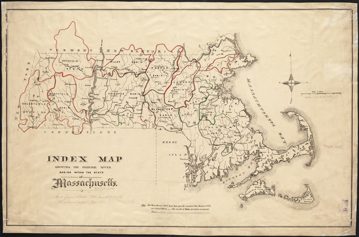
Index map showing the principal river basins within the state of Massachusetts
Index map showing the principal river basins within the state of Massachusetts
×
Item Information
Title:
Index map showing the principal river basins within the state of Massachusetts
Date:
[1876]
Format:
Maps/Atlases
Location:
Boston Public Library
Norman B. Leventhal Map Center
Collection (local):
Norman B. Leventhal Map Center Collection
Subjects:
Watersheds--Massachusetts--Maps
Massachusetts--Maps
Places:
Massachusetts
Extent:
1 map : col. ; 47 x 73 cm.
Permalink:
https://ark.digitalcommonwealth.org/ark:/50959/cj82m103q
Terms of Use:
No known copyright restrictions.
No known restrictions on use.
Publisher:
Boston : State Board of Health of Massachusetts
Scale:
Scale [ca. 1:444,000]
Language:
English
Notes (date):
This date is inferred.
Identifier:
06_01_002599
Call #:
G3761.P53 1876 .I5
Barcode:
39999058995984
show more...
View MODS XML
More Like This
General plan of the MWRA/MDC water system
Massachusetts drainage basins
Massachusetts river basins
Massachusetts river basins
Find More Like This >>
Tools
Share
Facebook
Pinterest
X
Reddit
Tumblr
Email
Copy link
Add to Folder
Questions/Comments
Cite This Item
IIIF Manifest
Downloads
Primary (full resolution, uncompressed)
(TIF, 146 MB)
Large (full resolution)
(JPEG, 12.2 MB)
Medium
(JPEG, 325 KB)