Skip to search
Skip to main content
Digital Commonwealth
Sign Up / Log In
Search for
Search
Search
Search
Basic
Advanced
Explore
Map
Collections
Institutions
Formats
For Educators
Primary Source Sets
Lesson Plans
Using Primary Sources
Searching Digital Commonwealth
For Institutions
Join Digital Commonwealth
Conferences, Trainings, & Events
How to Contribute Collections
Digitization Services
Board & Committees
Frequently Asked Questions
About
About Digital Commonwealth
News & Announcements
Copyright & Terms of Use
Harmful Content Statement
Partners
API
Contact Us
Town of Rockport
Rockport Town Clerk, Street, Roads and Maps
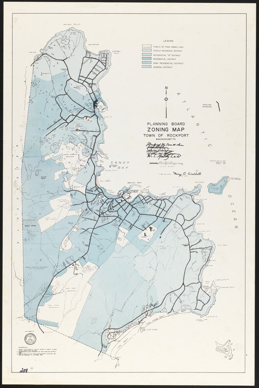
Planning board zoning map, Town of Rockport
Planning board zoning map, Town of Rockport
×
Item Information
Title:
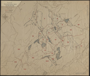
Planning board zoning map, Town of Rockport
Name on Item:
Map drawn by Albert M. Seppala, professional engineer
Date:
March 1969
Format:
Maps/Atlases
Genre:
Planning drawings
Location:
Town of Rockport
Collection (local):
Streets, Roads and Maps of Rockport, MA 1823-1974 (approximate)
Subjects:
Land use
Places:
Massachusetts
>
Essex (county)
>
Rockport
Extent:
1 map ; 84 x 55 cm
Permalink:
https://ark.digitalcommonwealth.org/ark:/50959/dz0110026
Terms of Use:
Rights status not evaluated.
No known restrictions on use.
Scale:
Scale 1:9,600
Language:
English
Notes:
Title from item.
Notes (date):
Date from item.
Map originally issued 1962-04-02, amended 1963-05-25, 1968-03-06, and 1969-03.
Identifier:
208
show more...
View MODS XML
More Like This
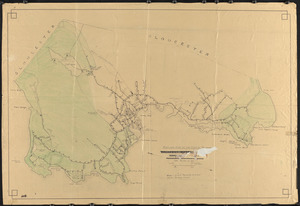
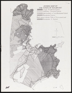
Zoning map of the Town of Rockport
Zoning map of the Town of Rockport
1850 Landscape
The Black Rock Forest
Find More Like This >>
Tools
Share
Facebook
Pinterest
X
Reddit
Tumblr
Email
Copy link
Add to Folder
Questions/Comments
Cite This Item
Downloads
Primary (full resolution, uncompressed)
(TIF, 115 MB)
Large (full resolution)
(JPEG, 9.66 MB)
Medium
(JPEG, 152 KB)