Skip to search
Skip to main content
Digital Commonwealth
Sign Up / Log In
Search for
Search
Search
Search
Basic
Advanced
Explore
Map
Collections
Institutions
Formats
For Educators
Primary Source Sets
Lesson Plans
Using Primary Sources
Searching Digital Commonwealth
For Institutions
Join Digital Commonwealth
Conferences, Trainings, & Events
How to Contribute Collections
Digitization Services
Board & Committees
Frequently Asked Questions
About
About Digital Commonwealth
News & Announcements
Copyright & Terms of Use
Harmful Content Statement
Partners
API
Contact Us
Boston Public Library
Norman B. Leventhal Map Center Collection
/
Urban Maps (Collection of Distinction)
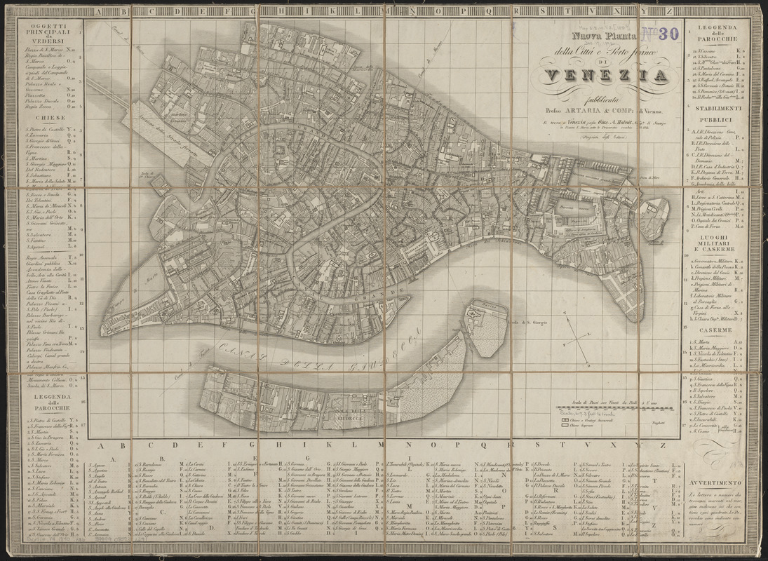
Nuova pianta della cittá e porto franco di Venezia
Nuova pianta della cittá e porto franco di Venezia
×
Item Information
Title:
Nuova pianta della cittá e porto franco di Venezia
Bookseller:
Habnit, Giuseppe A.
Publisher:
Artaria & Co.
Date:
[1840?–1849?]
Format:
Maps/Atlases
Location:
Boston Public Library
Norman B. Leventhal Map Center
Collection (local):
Norman B. Leventhal Map Center Collection
Subjects:
Venice (Italy)--Maps
Places:
Venetan
(region)
>
Venezia
(province)
>
Venice
Extent:
1 map ; 38 x 54 cm, on sheet 50 x 69 cm
Permalink:
https://ark.digitalcommonwealth.org/ark:/50959/ht250961n
Terms of Use:
No known copyright restrictions.
No known restrictions on use.
Publisher:
Vienna : Presso Artaria & Comp.
Scale:
Scale approximately 1:7,600
Language:
Italian
Notes:
Oriented with north to the upper left.
Includes index.
Identifier:
06_01_015131
Call #:
G6714.V4 1840 .N86
Barcode:
39999085931291
show more...
View MODS XML
More Like This
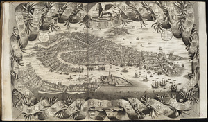
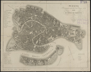
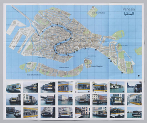
Citta di Venezia
Nuova pianta di Venezia = Neuer plan von Venedig
Pianta della R. cittá di Venezia
Stazione : a project by Emily Jacir
Find More Like This >>
Tools
Share
Facebook
Pinterest
X
Reddit
Tumblr
Email
Copy link
Add to Folder
Questions/Comments
Cite This Item
IIIF Manifest
Downloads
Primary (full resolution, uncompressed)
(TIF, 99.2 MB)
Large (full resolution)
(JPEG, 8.33 MB)
Medium
(JPEG, 378 KB)