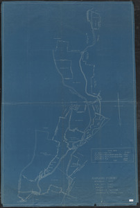
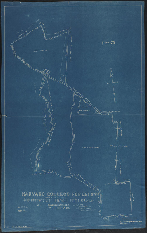
Harvard College Forestry, Northwest tract - Meadow Water Tract
Item Information
- Title:
- Harvard College Forestry, Northwest tract - Meadow Water Tract
- Description:
-
Harvard College Forestry Meadow Water Tract Northwest Tract Petersham Survey Map of TS I-VIII
- Creator:
- Caswell, Lilley Brewer, 1848-
- Creator:
- Cary, Austin, 1865-1936
- Name on Item:
-
L. B. Caswell, C. E., ; additions in red by Austin Carey, Forester
- Date:
-
April 1, 1908
- Format:
-
Maps/Atlases
- Location:
-
Harvard University
Harvard Forest Archives
Stack # 1; Drawer # 7 (shelf locator) - Collection (local):
-
The Harvard Forest Map Collection
- Subjects:
-
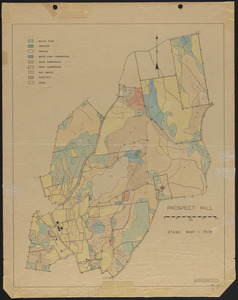
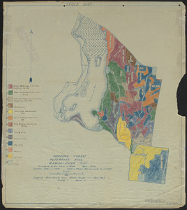
Boundaries
1908
- Places:
-
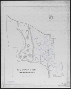
MassachusettsWorcester (county)Tom Swamp
MassachusettsWorcester (county)Petersham
Tom Swamp Tract
- Extent:
- 1 map : blueprint ; 24 x 38.5 in.
- Permalink:
- https://ark.digitalcommonwealth.org/ark:/50959/qv33t545p
- Terms of Use:
-
Copyright (c) President and Fellows of Harvard College, Harvard Forest Archives
This work is licensed for use under a Creative Commons Attribution Non-Commercial No Derivatives License (CC BY-NC-ND).