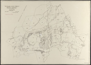
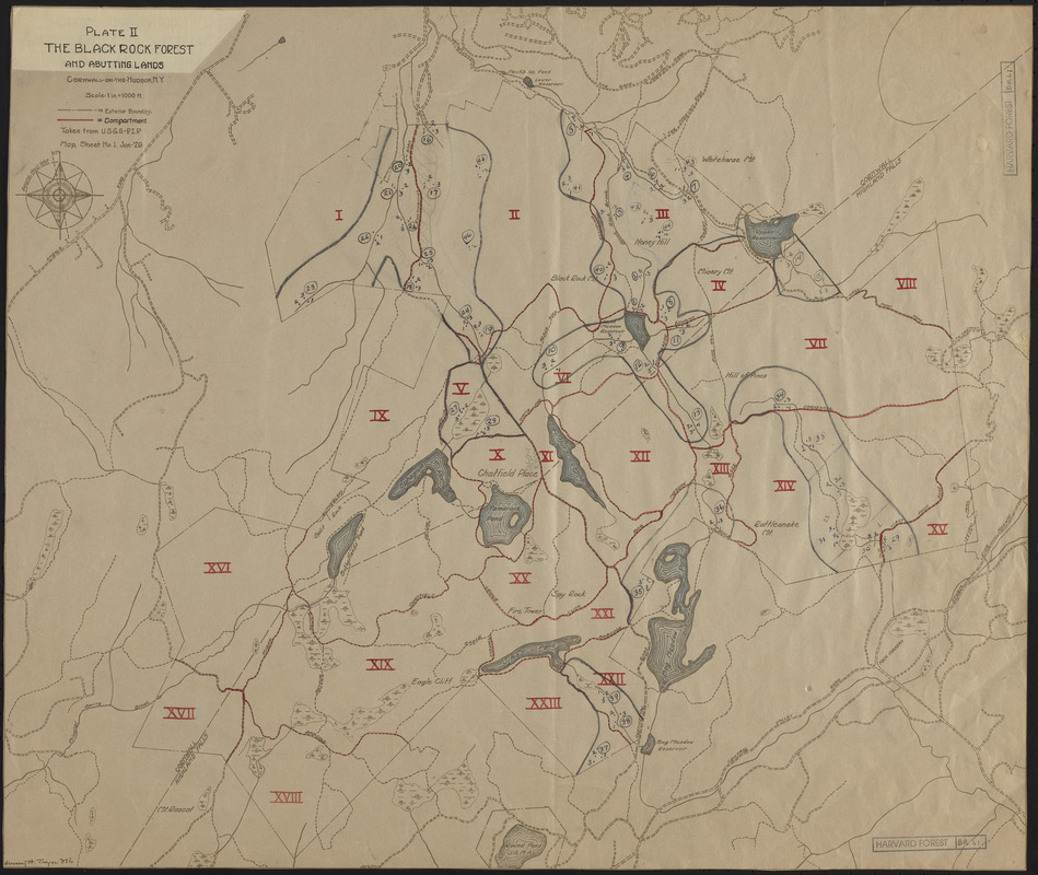
The Black Rock Forest
Item Information
- Title:
- The Black Rock Forest
- Description:
-
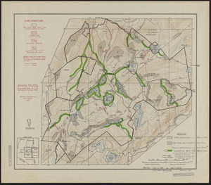
Plate II The Black Rock Forest and Abutting Lands
- Creator:
- Tryon, H. H.
- Name on Item:
-
Henry H. Tryon
- Date:
-
January 1929
- Format:
-
Maps/Atlases
- Location:
-
Harvard University
Harvard Forest Archives
Stack # 1; Drawer # 11 (shelf locator) - Collection (local):
-
The Harvard Forest Map Collection
- Subjects:
-
Land use
- Places:
-
New YorkOrange (county)Cornwall-on-Hudson
Black Rock Forest
- Extent:
- 1 map : black and white ; 18 x 21 in.
- Permalink:
- https://ark.digitalcommonwealth.org/ark:/50959/qv33t9251
- Terms of Use:
-
Copyright (c) President and Fellows of Harvard College, Harvard Forest Archives
This work is licensed for use under a Creative Commons Attribution Non-Commercial No Derivatives License (CC BY-NC-ND).