Map of Watertown
Item Information
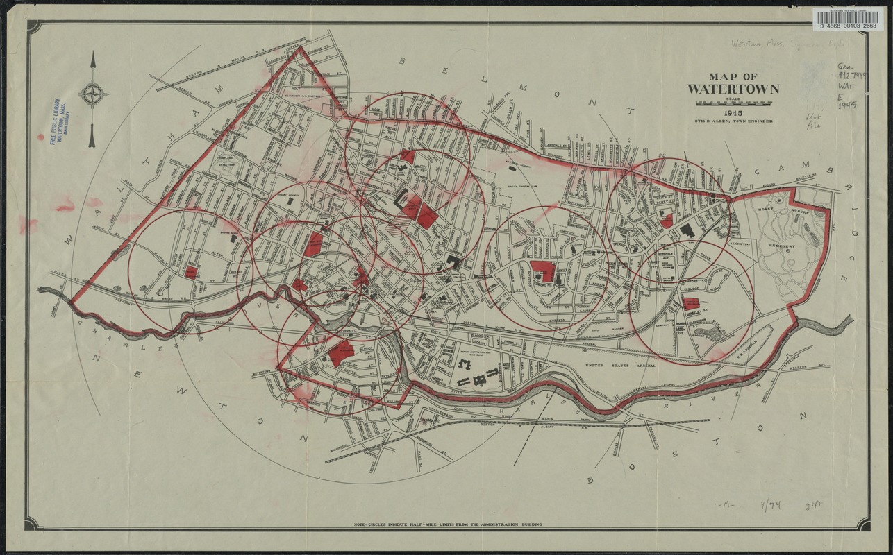
- Title:
- Map of Watertown
- Engineer:
- Allen, Otis D.
- Name on Item:
-
Otis D. Allen, Town Engineer.
- Date:
-
1945
- Format:
-
Maps/Atlases
- Location:
- Watertown Free Public Library
- Collection (local):
-
Watertown Free Public Library Local History Collection
- Places:
-
MassachusettsMiddlesex (county)Watertown
- Extent:
- 1 map. : col.
- Permalink:
- https://ark.digitalcommonwealth.org/ark:/50959/rf55zd20n
- Terms of Use:
-
Rights status not evaluated.
This work is licensed for use under a Creative Commons Attribution Non-Commercial No Derivatives License (CC BY-NC-ND).