Skip to search
Skip to main content
Digital Commonwealth
Sign Up / Log In
Search for
Search
Search
Search
Basic
Advanced
Explore
Map
Collections
Institutions
Formats
For Educators
Primary Source Sets
Lesson Plans
Using Primary Sources
Searching Digital Commonwealth
For Institutions
Join Digital Commonwealth
Conferences, Trainings, & Events
How to Contribute Collections
Digitization Services
Board & Committees
Frequently Asked Questions
About
About Digital Commonwealth
News & Announcements
Copyright & Terms of Use
Harmful Content Statement
Partners
API
Contact Us
Boston Public Library
Norman B. Leventhal Map Center Collection
/
Urban Maps (Collection of Distinction)
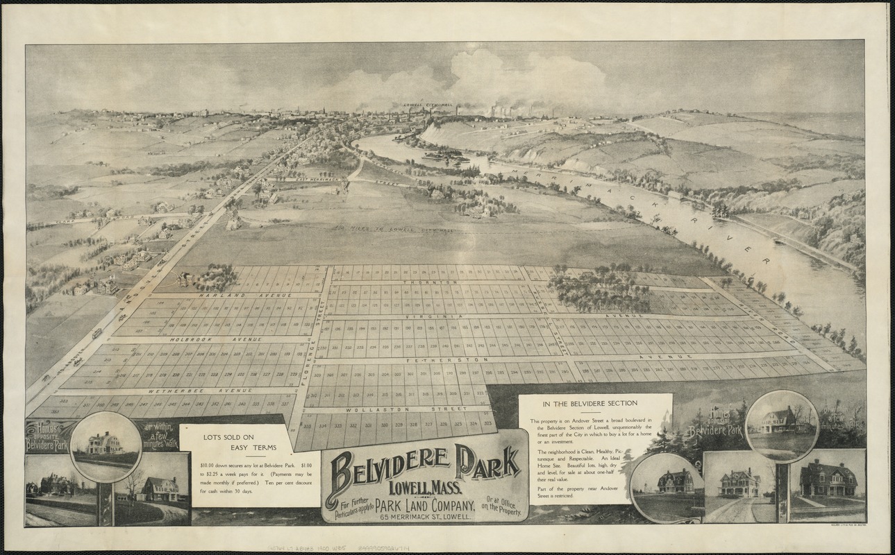
Belvidere Park : Lowell, Mass
Belvidere Park
×
Item Information
Title:
Belvidere Park : Lowell, Mass
Creator:
Walker Lith. & Pub. Co
Date:
[ca. 1900]
Format:
Maps/Atlases
Location:
Boston Public Library
Norman B. Leventhal Map Center
Collection (local):
Norman B. Leventhal Map Center Collection
Subjects:
Lowell (Mass.)--Aerial views
Places:
Middlesex (county)
>
Lowell
Extent:
1 view ; 40 x 70 cm.
Permalink:
https://ark.digitalcommonwealth.org/ark:/50959/xg94j2618
Terms of Use:
No known copyright restrictions.
No known restrictions on use.
Publisher:
Boston : Walker Lith. & Pub. Co.
Scale:
Not drawn to scale.
Language:
English
Notes:
Shows ills. of homes and division of lots in a planned development.
Identifier:
06_01_006588
Call #:
G3764.L7:2B4A3 1900 .W35
Barcode:
39999059026714
show more...
View MODS XML
More Like This
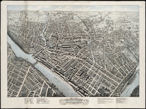
Birds eye view of Lowell, Mass : 1876
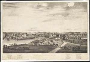
View of Lowell, Mass : taken from the house of Elisha Fuller Esq. ...
The 100th anniversary map of Abraham Lincoln's visit to ...
1630 shoreline
Find More Like This >>
Tools
Share
Facebook
Pinterest
X
Reddit
Tumblr
Email
Copy link
Add to Folder
Questions/Comments
Cite This Item
IIIF Manifest
Downloads
Primary (full resolution, uncompressed)
(TIF, 153 MB)
Large (full resolution)
(JPEG, 12.8 MB)
Medium
(JPEG, 361 KB)