Skip to search
Skip to main content
Digital Commonwealth
Sign Up / Log In
Search for
Search
Search
Search
Basic
Advanced
Explore
Map
Collections
Institutions
Formats
For Educators
Primary Source Sets
Lesson Plans
Using Primary Sources
Searching Digital Commonwealth
For Institutions
Join Digital Commonwealth
Conferences, Trainings, & Events
How to Contribute Collections
Digitization Services
Board & Committees
Frequently Asked Questions
About
About Digital Commonwealth
News & Announcements
Copyright & Terms of Use
Harmful Content Statement
Partners
API
Contact Us
Boston Public Library
Norman B. Leventhal Map Center Collection
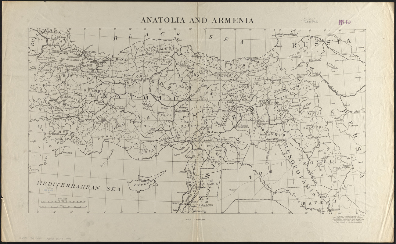
Anatolia and Armenia
Anatolia and Armenia
×
Item Information
Title:
Anatolia and Armenia
Issuing body:
American Geographical Society of New York
Name on Item:
printed and distributed by the American Geographical Society
Date:
1918
Format:
Maps/Atlases
Location:
Boston Public Library
Norman B. Leventhal Map Center
Collection (local):
Norman B. Leventhal Map Center Collection
Subjects:
Turkey--Maps
Armenia (Republic)--Maps
Places:
Turkey
Armenia
Extent:
1 map ; 51 x 93 cm
Permalink:
https://ark.digitalcommonwealth.org/ark:/50959/0z709710w
Terms of Use:
No known copyright restrictions.
No known restrictions on use.
Publisher:
New York City : American Geographical Society
Scale:
Scale 1:2,000,000
Language:
English
Identifier:
06_01_015220
Call #:
G7430 1918 .A44
Barcode:
39999085933495
show more...
View MODS XML
More Like This
Asiatische Türkei
The battle-field of the nations : a panoramic view of the seat of ...
Caucasus, Central Asia and Turkey
The cross and the crescent--Harper's pictorial map of the seat of ...
Find More Like This >>
Tools
Share
Facebook
Pinterest
X
Reddit
Tumblr
Email
Copy link
Add to Folder
Questions/Comments
Cite This Item
IIIF Manifest
Downloads
Primary (full resolution, uncompressed)
(TIF, 123 MB)
Large (full resolution)
(JPEG, 10.3 MB)
Medium
(JPEG, 385 KB)