Carte de la partie nord, des Etats Unis, de l'Amérique Septentrionale
Item Information
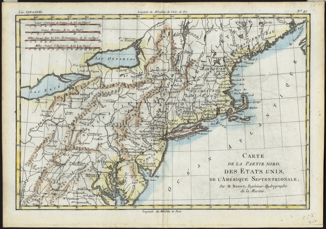
- Title:
- Carte de la partie nord, des Etats Unis, de l'Amérique Septentrionale
- Creator:
- Bonne, Rigobert, 1727-1794
- Cartographer:
- Bonne, Rigobert, 1727-1794
- Name on Item:
-
par M. Bonne, Ingénieur-Hydrographe de la Marine
- Date:
-
[1781]
- Format:
-
Maps/Atlases
- Location:
- Private Collection
- Collection (local):
-
Mapping Boston Collection
- Subjects:
-
Northeastern States--Maps--Early works to 1800
- Places:
-
Northeastern United States (area)
- Extent:
- 1 map : hand colored ; 21 x 31 cm
- Permalink:
- https://ark.digitalcommonwealth.org/ark:/50959/3f462x49m
- Terms of Use:
-
No known copyright restrictions.
This work is licensed for use under a Creative Commons Attribution Non-Commercial Share Alike License (CC BY-NC-SA).


