Skip to search
Skip to main content
Digital Commonwealth
Sign Up / Log In
Search for
Search
Search
Search
Basic
Advanced
Explore
Map
Collections
Institutions
Formats
For Educators
Primary Source Sets
Lesson Plans
Using Primary Sources
Searching Digital Commonwealth
For Institutions
Join Digital Commonwealth
Conferences, Trainings, & Events
How to Contribute Collections
Digitization Services
Board & Committees
Frequently Asked Questions
About
About Digital Commonwealth
News & Announcements
Copyright & Terms of Use
Harmful Content Statement
Partners
API
Contact Us
Boston Public Library
Norman B. Leventhal Map Center Collection
/
Boston and New England Maps (Collection of Distinction)
/
Maritime Charts and Atlases (Collection of Distinction)
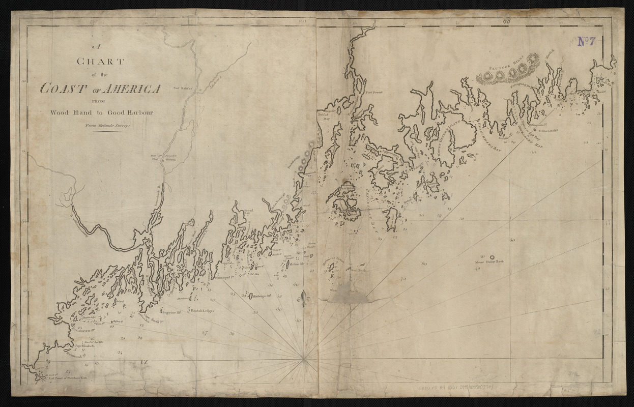
A chart of the Coast of America from Wood Island to Good Harbour from Hollands surveys
A chart of the Coast of America from Wood Island to Good Harbour from Hollands surveys
×
Item Information
Title:
A chart of the Coast of America from Wood Island to Good Harbour from Hollands surveys
Publisher:
Allen, Andrew J., 1784 or 1785-1863
Date:
[1816]
Format:
Maps/Atlases
Location:
Boston Public Library
Norman B. Leventhal Map Center
Collection (local):
Norman B. Leventhal Map Center Collection
Subjects:
Coasts--Maine--Maps--Early works to 1800
Nautical charts--Maine--Maps--Early works to 1800
Maine--Maps--Early works to 1800
Places:
Maine
Extent:
1 map ; 52 x 85 cm
Permalink:
https://ark.digitalcommonwealth.org/ark:/50959/3f463125t
Terms of Use:
No known copyright restrictions.
No known restrictions on use.
Publisher:
[Boston] : [Andrew J. Allen]
Scale:
Scale approximately 1:281,000
Language:
English
Notes:
Relief shown by hachures. Depths shown by soundings.
In The American pilot. Boston : Andrew J. Allen, [1816].
Notes (date):
This date is inferred.
Identifier:
06_01_004815
Call #:
G1106.P5 A4 1816x
Barcode:
30000005069392
show more...
View MODS XML
More Like This
A chart of the Coast of America from Wood Island to Good Harbour ...
A chart of the coast of America from Wood Island to Good Harbour ...
Maine
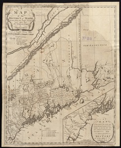
A map of the district of Maine, drawn from the latest surveys and ...
Find More Like This >>
Tools
Share
Facebook
Pinterest
X
Reddit
Tumblr
Email
Copy link
Add to Folder
Questions/Comments
Cite This Item
IIIF Manifest
Downloads
Primary (full resolution, uncompressed)
(TIF, 117 MB)
Large (full resolution)
(JPEG, 9.85 MB)
Medium
(JPEG, 330 KB)