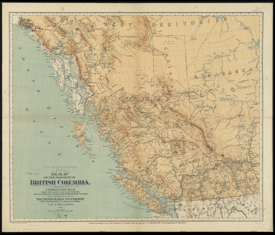
compiled by J.H. Brownlee, D.L.S. from the latest maps and surveys and all reliable sources of information to date, by direction of the Honourable F.G. Vernon, Chief Commissioner of Lands and Works.
Shows roads, trails, railways, stations and post offices.
Relief shown by hachures and spot heights.
Shows parts of Northwest Territory, Athabasca, and Alberta; "provisional boundary" through Rocky Mountains.
"Entered according to Act of the Parliament of Canada in the year 1892, by J.H. Brownlee, at the Department of Agriculture."