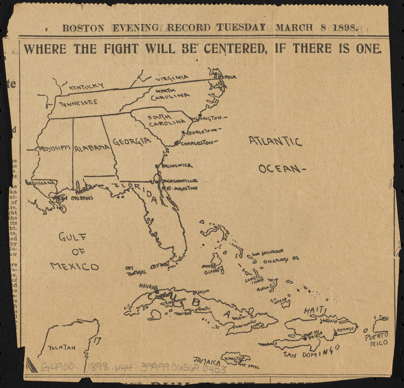
Cut from the March 8, 1898 issue of the Boston Evening Record.
Shows the Greater Antilles and Southern United States.
Text and illustration on verso.
Notes (exhibitions):
Exhibited: "Bending lines: maps and data from distortion to deception," organized by the Norman B. Leventhal Map & Education Center at the Boston Public Library, 2020-2021.