Skip to search
Skip to main content
Digital Commonwealth
Sign Up / Log In
Search for
Search
Search
Search
Basic
Advanced
Explore
Map
Collections
Institutions
Formats
For Educators
Primary Source Sets
Lesson Plans
Using Primary Sources
Searching Digital Commonwealth
For Institutions
Join Digital Commonwealth
Conferences, Trainings, & Events
How to Contribute Collections
Digitization Services
Board & Committees
Frequently Asked Questions
About
About Digital Commonwealth
News & Announcements
Copyright & Terms of Use
Harmful Content Statement
Partners
API
Contact Us
Boston Public Library
Norman B. Leventhal Map Center Collection
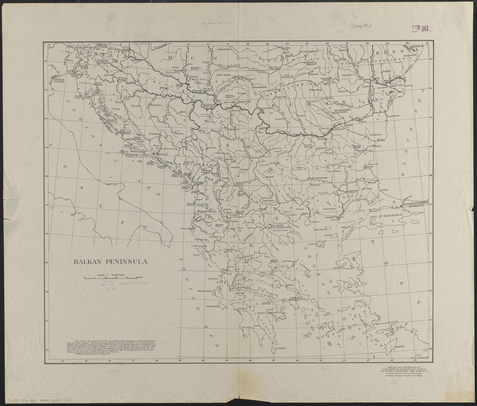
Balkan Peninsula
Balkan Peninsula
×
Item Information
Title:
Balkan Peninsula
Cartographer:
Briesemeister, William A.
Publisher:
American Geographical Society of New York
Name on Item:
drawn by Wm. Briesemeister
Date:
[1918?]
Format:
Maps/Atlases
Location:
Boston Public Library
Norman B. Leventhal Map Center
Collection (local):
Norman B. Leventhal Map Center Collection
Subjects:
Balkan Peninsula--Maps
Places:
Balkan Peninsula
(area)
Extent:
1 map ; 62 x 74 cm
Permalink:
https://ark.digitalcommonwealth.org/ark:/50959/4m90fp04s
Terms of Use:
No known copyright restrictions.
No known restrictions on use.
Publisher:
New York : American Geographical Society
Scale:
Scale 1:2,000,000
Language:
English
Notes:
Political boundaries as in July, 1914.
Identifier:
06_01_012492
Call #:
G6800 1914 .A44
Barcode:
39999065697557
show more...
View MODS XML
More Like This
Balkan peninsula
Die Balkan-Halbinsel in 4 blättern : Türkei, Rumänien, ...
The Balkans
The Balkans
Find More Like This >>
Tools
Share
Facebook
Pinterest
X
Reddit
Tumblr
Email
Copy link
Add to Folder
Questions/Comments
Cite This Item
IIIF Manifest
Downloads
Primary (full resolution, uncompressed)
(TIF, 239 MB)
Large (full resolution)
(JPEG, 20.1 MB)
Medium
(JPEG, 232 KB)