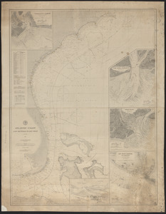
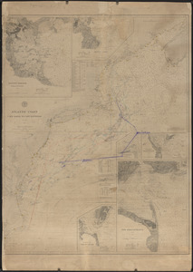
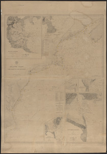
Coast of the United States from New York to Cape Ann
Item Information
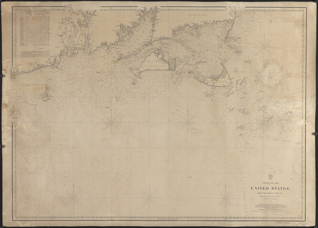
- Title:
- Coast of the United States from New York to Cape Ann
- Cartographer:
- Copley, Charles
- Engraver:
- Copley, Charles
- Name on Item:
-
Drawn from the coast surveys by Charles Copley, hydrographer ; engraved by C. J. & F. S. Copley
- Date:
-
1864
- Format:
-
Maps/Atlases
- Genre:
-
Nautical charts
- Location:
- Atwood Museum of the Chatham Historical Society
- Collection (local):
-
Nautical Chart Collection of the Atwood Museum, Chatham Historical Society
- Subjects:
-
Coastlines
- Places:
-
United States
Rhode IslandWashington (county)Block Island (island)
MassachusettsDukes (county)Martha's Vineyard (island)
MassachusettsNantucket (county)Nantucket Island (island)
- Extent:
- 1 map ; 89 x 121 cm
- Permalink:
- https://ark.digitalcommonwealth.org/ark:/50959/5138jp53k
- Terms of Use:
-
No known copyright restrictions.
This work is licensed for use under a Creative Commons Attribution Non-Commercial No Derivatives License (CC BY-NC-ND).