Skip to search
Skip to main content
Digital Commonwealth
Sign Up / Log In
Search for
Search
Search
Search
Basic
Advanced
Explore
Map
Collections
Institutions
Formats
For Educators
Primary Source Sets
Lesson Plans
Using Primary Sources
Searching Digital Commonwealth
For Institutions
Join Digital Commonwealth
Conferences, Trainings, & Events
How to Contribute Collections
Digitization Services
Board & Committees
Frequently Asked Questions
About
About Digital Commonwealth
News & Announcements
Copyright & Terms of Use
Harmful Content Statement
Partners
API
Contact Us
Boston Public Library
Norman B. Leventhal Map Center Collection
United States
United States
×
Item Information
Title:
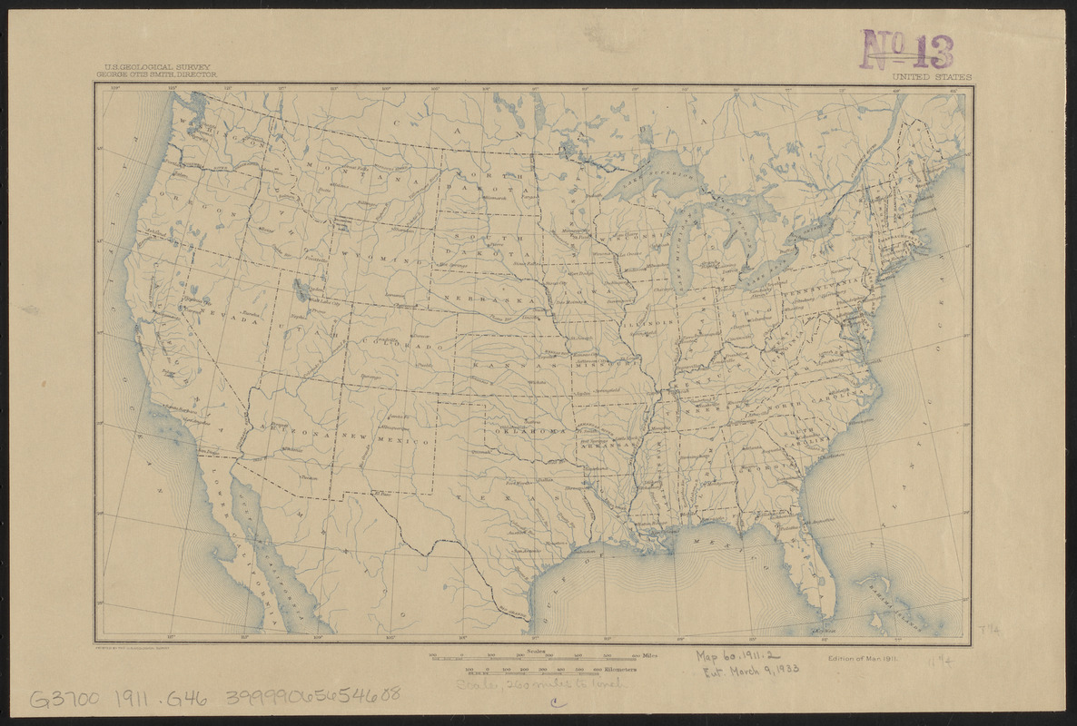
United States
Cartographer:
Geological Survey (U.S.)
Name on Item:
U. S. Geological Survey
Date:
1911
Format:
Maps/Atlases
Location:
Boston Public Library
Norman B. Leventhal Map Center
Collection (local):
Norman B. Leventhal Map Center Collection
Subjects:
United States--Maps
Outline maps
Places:
Extent:
1 map : col. ; 19 x 29 cm.
Permalink:
https://ark.digitalcommonwealth.org/ark:/50959/7h149z15w
Terms of Use:
No known copyright restrictions.
No known restrictions on use.
Publisher:
Washington, D.C. : The Survey
Edition:
Ed. of Mar. 1911
Scale:
Scale [ca. 1:16,500,000]
Projection:
Polyconic projection
Language:
English
Notes:
Shows rivers, lakes, cities and state boundaries.
Available also through the Norman B. Leventhal Map Center website as a raster image.
Identifier:
06_01_008476
Call #:
G3700 1911 .G462
Barcode:
39999065654608
show more...
View MODS XML
More Like This
Agricultural areas of China
Outline map of the various Boston metropolitan districts
Philippine Islands : [outline map]
19th annual convention of the National Association of Real Estate ...
Find More Like This >>
Tools
Share
Facebook
Pinterest
X
Reddit
Tumblr
Email
Copy link
Add to Folder
Questions/Comments
Cite This Item
IIIF Manifest
Downloads
Primary (full resolution, uncompressed)
(TIF, 18.7 MB)
Large (full resolution)
(JPEG, 1.57 MB)
Medium
(JPEG, 335 KB)