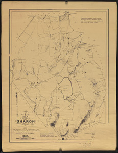
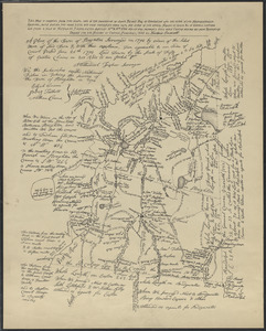
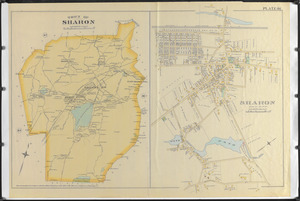
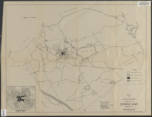
Town of Sharon, Massachusetts, zoning map
Item Information
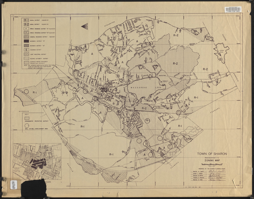
- Title:
- Town of Sharon, Massachusetts, zoning map
- Cartographer:
- Sharon Planning Board
- Name on Item:
-
Prepared by the Sharon Planning Board
- Date:
-
April 1987
- Format:
-
Maps/Atlases
- Genre:
-
Zoning maps
- Location:
- Sharon Public Library
- Collection (local):
-
Town of Sharon Map Collection
- Places:
-
MassachusettsNorfolk (county)Sharon
- Extent:
- 1 map ; 50 x 66 cm
- Permalink:
- https://ark.digitalcommonwealth.org/ark:/50959/8336hc552
- Terms of Use:
-
No known copyright restrictions.
This work is licensed for use under a Creative Commons Attribution No Derivatives License (CC BY-ND).