Skip to search
Skip to main content
Digital Commonwealth
Sign Up / Log In
Search for
Search
Search
Search
Basic
Advanced
Explore
Map
Collections
Institutions
Formats
For Educators
Primary Source Sets
Lesson Plans
Using Primary Sources
Searching Digital Commonwealth
For Institutions
Join Digital Commonwealth
Conferences, Trainings, & Events
How to Contribute Collections
Digitization Services
Board & Committees
Frequently Asked Questions
About
About Digital Commonwealth
News & Announcements
Copyright & Terms of Use
Harmful Content Statement
Partners
API
Contact Us
Town of Rockport
Rockport Town Clerk, Street, Roads and Maps
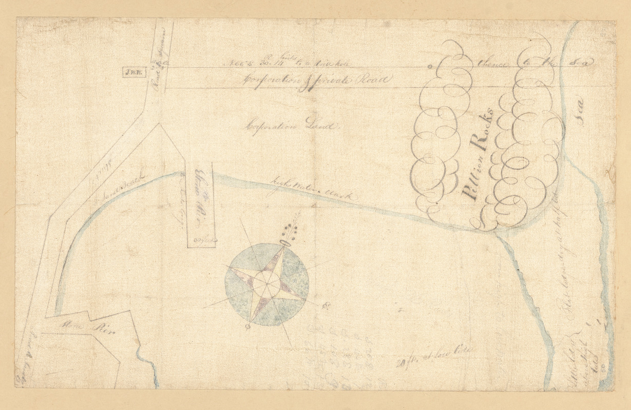
Pillion Rocks
Pillion Rocks
×
Item Information
Title:
Pillion Rocks
Date:
[ca. 1823–1974]
Format:
Maps/Atlases
Manuscripts
Genre:
Manuscript maps
Location:
Town of Rockport
Collection (local):
Streets, Roads and Maps of Rockport, MA 1823-1974 (approximate)
Subjects:
Bays (Bodies of water)
Jetties
Piers & wharves
Places:
Massachusetts
>
Essex (county)
>
Rockport
Extent:
1 map : ms. ; 22 x 35 cm
Permalink:
https://ark.digitalcommonwealth.org/ark:/50959/dz010w70j
Terms of Use:
Rights status not evaluated.
No known restrictions on use.
Language:
English
Notes:
Title from item.
Notes (date):
Date supplied by cataloger.
Identifier:
102
PF-3-7
77
show more...
View MODS XML
More Like This
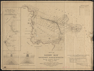
Map of Sandy Bay, Rockport, Massachusetts, showing proposed ...
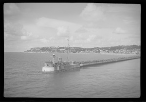
Havre, crowds of people along the pier and breakwater
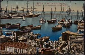
Πατραι - εξαγωγη σταφιδος = Patras. L'exportation des raisins
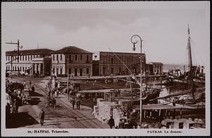
Πατραι. Τελωνεῖον = Patras. La douane
Find More Like This >>
Tools
Share
Facebook
Pinterest
X
Reddit
Tumblr
Email
Copy link
Add to Folder
Questions/Comments
Cite This Item
Downloads
Primary (full resolution, uncompressed)
(TIF, 28.1 MB)
Large (full resolution)
(JPEG, 2.36 MB)
Medium
(JPEG, 373 KB)