Skip to search
Skip to main content
Digital Commonwealth
Sign Up / Log In
Search for
Search
Search
Search
Basic
Advanced
Explore
Map
Collections
Institutions
Formats
For Educators
Primary Source Sets
Lesson Plans
Using Primary Sources
Searching Digital Commonwealth
For Institutions
Join Digital Commonwealth
Conferences, Trainings, & Events
How to Contribute Collections
Digitization Services
Board & Committees
Frequently Asked Questions
About
About Digital Commonwealth
News & Announcements
Copyright & Terms of Use
Harmful Content Statement
Partners
API
Contact Us
Boston Public Library
Norman B. Leventhal Map Center Collection
/
Urban Maps (Collection of Distinction)
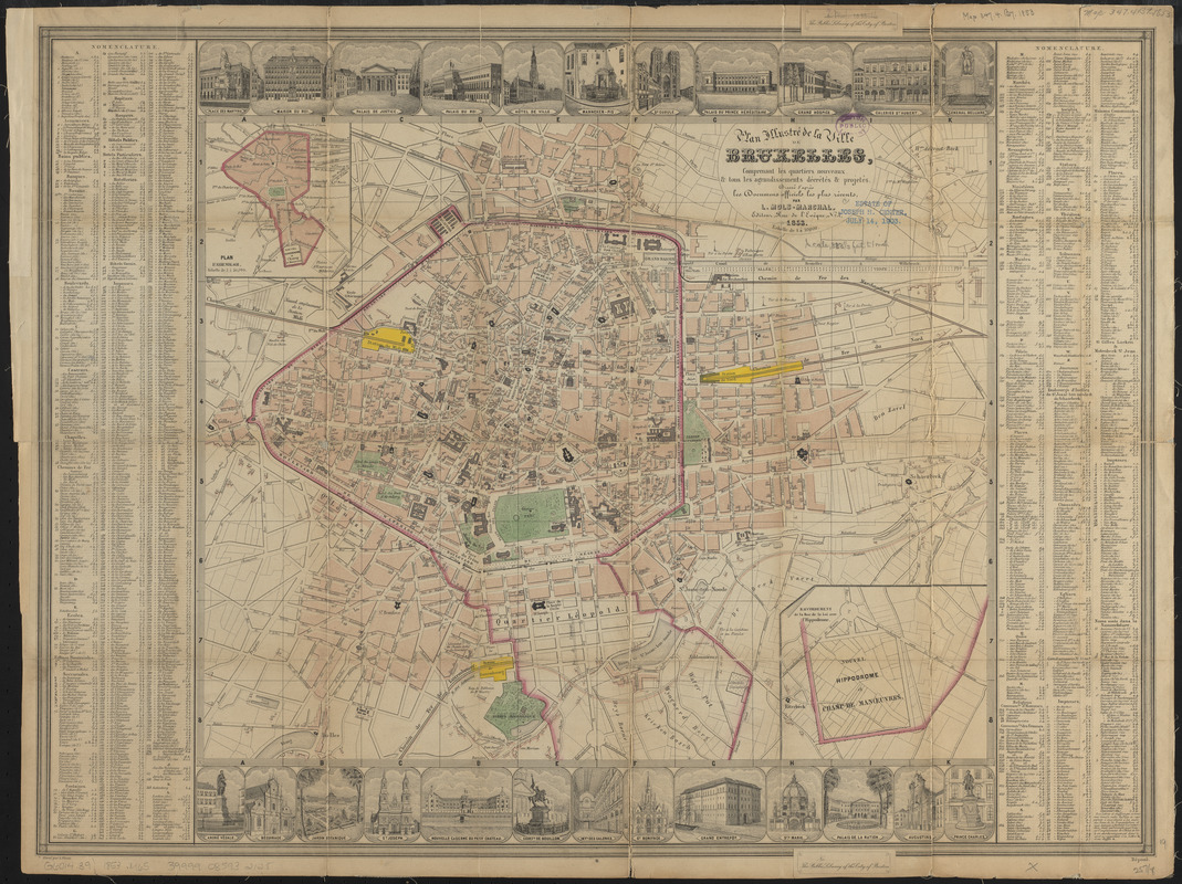
Plan illustré de la Ville de Bruxelles, comprenant les quartiers nouveaux & tous les agrandissements décrétés & projetés
Plan illustré de la Ville de Bruxelles, comprenant les quartiers nouveaux & tous les agrandissements décrétés & projetés
×
Item Information
Title:
Plan illustré de la Ville de Bruxelles, comprenant les quartiers nouveaux & tous les agrandissements décrétés & projetés
Cartographer:
Mols-Marchal, L.
Engraver:
Floren, L.
Name on Item:
dressé d'après les documens officiels le plus récents par L. Mols-Marchal ; gravé par L. Floren
Date:
1853
Format:
Maps/Atlases
Location:
Boston Public Library
Norman B. Leventhal Map Center
Collection (local):
Norman B. Leventhal Map Center Collection
Subjects:
Brussels (Belgium)--Maps
Places:
Brussels-Capital Region
(region)
>
Brussels
Extent:
1 map : color ; 39 x 48 cm, on sheet 53 x 70 cm
Permalink:
https://ark.digitalcommonwealth.org/ark:/50959/ht2507065
Terms of Use:
No known copyright restrictions.
No known restrictions on use.
Publisher:
[Brussels] : L. Mols-Marchal
Scale:
Scale 1:10,000
Language:
French
Notes:
Oriented with north towards the upper right.
Insets: Plan d'assemblage -- Raccordement de la Rue de la Loi avec l'Hippodrome et Champ de Manœuvres.
Includes index and 24 illustrations.
Identifier:
06_01_015052
Call #:
G6014.B9 1853 .M65
Barcode:
39999085932125
show more...
View MODS XML
More Like This
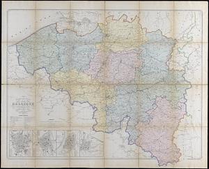
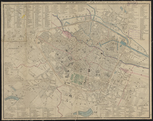
Fortifications of Central Europe : sheet no. 2 containing 16 plans
Nouvelle carte générale de la Belgique à l'échelle de 1/200,000
Plan de Bruxelles
Plan géométrique de la ville de Bruxelles
Find More Like This >>
Tools
Share
Facebook
Pinterest
X
Reddit
Tumblr
Email
Copy link
Add to Folder
Questions/Comments
Cite This Item
IIIF Manifest
Downloads
Primary (full resolution, uncompressed)
(TIF, 108 MB)
Large (full resolution)
(JPEG, 9.05 MB)
Medium
(JPEG, 420 KB)