Skip to search
Skip to main content
Digital Commonwealth
Sign Up / Log In
Search for
Search
Search
Search
Basic
Advanced
Explore
Map
Collections
Institutions
Formats
For Educators
Primary Source Sets
Lesson Plans
Using Primary Sources
Searching Digital Commonwealth
For Institutions
Join Digital Commonwealth
Conferences, Trainings, & Events
How to Contribute Collections
Digitization Services
Board & Committees
Frequently Asked Questions
About
About Digital Commonwealth
News & Announcements
Copyright & Terms of Use
Harmful Content Statement
Partners
API
Contact Us
Boston Public Library
Norman B. Leventhal Map Center Collection
/
Maritime Charts and Atlases (Collection of Distinction)
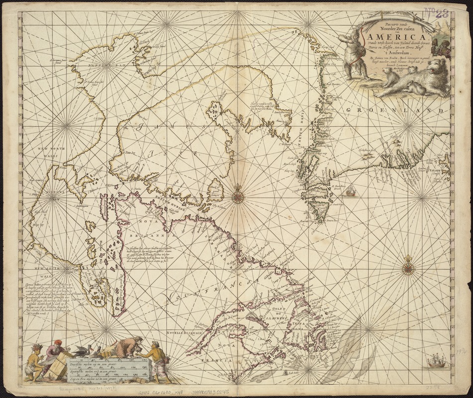
Pascaarte vande Noorder Zee custen van America, vande West-hoeck van Ysland doorde Straet Davis en Hudson, tot aen Terra Neuf
Pascaarte vande Noorder Zee custen van America, vande West-hoeck van Ysland doorde Straet Davis en Hudson, tot aen Terra Neuf
×
Item Information
Title:
Pascaarte vande Noorder Zee custen van America, vande West-hoeck van Ysland doorde Straet Davis en Hudson, tot aen Terra Neuf
Creator:
Keulen, Johannes van, 1654-1715
Name on Item:
by Joannes van Keulen.
Date:
[1680]
Format:
Maps/Atlases
Location:
Boston Public Library
Norman B. Leventhal Map Center
Collection (local):
Norman B. Leventhal Map Center Collection
Subjects:
Nautical charts--North Atlantic Ocean--Maps--Early works to 1800
North Atlantic Ocean--Maps--Early works to 1800
Atlantic Provinces--Maps--Early works to 1800
Arctic regions--Maps--Early works to 1800
Places:
Arctic
(area)
Canada
>
Newfoundland and Labrador
(province)
Atlantic Ocean
Extent:
1 map : hand col. ; 51 x 58 cm.
Permalink:
https://ark.digitalcommonwealth.org/ark:/50959/kk91fq860
Terms of Use:
No known copyright restrictions.
No known restrictions on use.
Publisher:
Amsterdam : Chez Jean van Keulen
Scale:
Scale [ca 1:8,500,000]
Language:
Dutch
Notes:
Relief shown pictorially.
Appears in the author's Le Grand Nouvel Atlas de la Mer, or, Zee-Atlas ofte Water-Werelt. Amsterdam: J. van Keulen, 1680.
Notes (date):
This date is inferred.
Identifier:
06_01_007231
Call #:
G3412.C6 1680 .K48
Barcode:
39999059030245
show more...
View MODS XML
More Like This
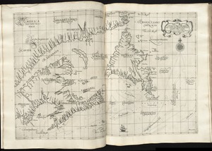
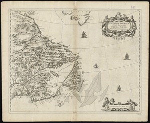
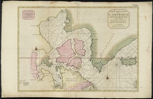
Carta particolare della terra nuoua con la Gran Baia et il Fiume ...
Extrema Americae versus Boream, ubi Terra Nova, Nova Francia, ...
Paskaerte Zÿnde de Noordelijckfte Zeekuften van America van ...
Carte particuliere de l'Amerique septentrionale ou sont compris le ...
Find More Like This >>
Tools
Share
Facebook
Pinterest
X
Reddit
Tumblr
Email
Copy link
Add to Folder
Questions/Comments
Cite This Item
IIIF Manifest
Downloads
Primary (full resolution, uncompressed)
(TIF, 188 MB)
Large (full resolution)
(JPEG, 15.8 MB)
Medium
(JPEG, 378 KB)