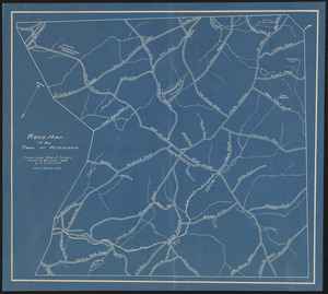
Road Map of the Town of Petersham
Item Information
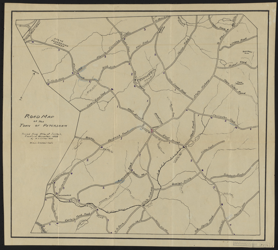
- Title:
- Road Map of the Town of Petersham
- Description:
-
Road Map of the Town of Petersham 1898 - Traced from Worcester County 1898 Atlas
- Creator:
- Cline, A. C.
- Name on Item:
-
Traced from Atlas of Surveys, County of Worcester 1898 by A. C. Cline
- Date:
-
1933
- Format:
-
Maps/Atlases
- Location:
-
Harvard University
Harvard Forest Archives
Stack # 2; Drawer # 7 (shelf locator) - Collection (local):
-
The Harvard Forest Map Collection
- Subjects:
-
1898
- Places:
-
MassachusettsWorcester (county)Petersham
- Extent:
- 1 map : black and white ; 16 x 17.5 in.
- Permalink:
- https://ark.digitalcommonwealth.org/ark:/50959/qv33tc555
- Terms of Use:
-
Public Domain
This work is licensed for use under a Creative Commons Attribution Non-Commercial No Derivatives License (CC BY-NC-ND).