Skip to search
Skip to main content
Digital Commonwealth
Sign Up / Log In
Search for
Search
Search
Search
Basic
Advanced
Explore
Map
Collections
Institutions
Formats
For Educators
Primary Source Sets
Lesson Plans
Using Primary Sources
Searching Digital Commonwealth
For Institutions
Join Digital Commonwealth
Conferences, Trainings, & Events
How to Contribute Collections
Digitization Services
Board & Committees
Frequently Asked Questions
About
About Digital Commonwealth
News & Announcements
Copyright & Terms of Use
Harmful Content Statement
Partners
API
Contact Us
Groton Historical Society
George S. Boutwell Map Collection
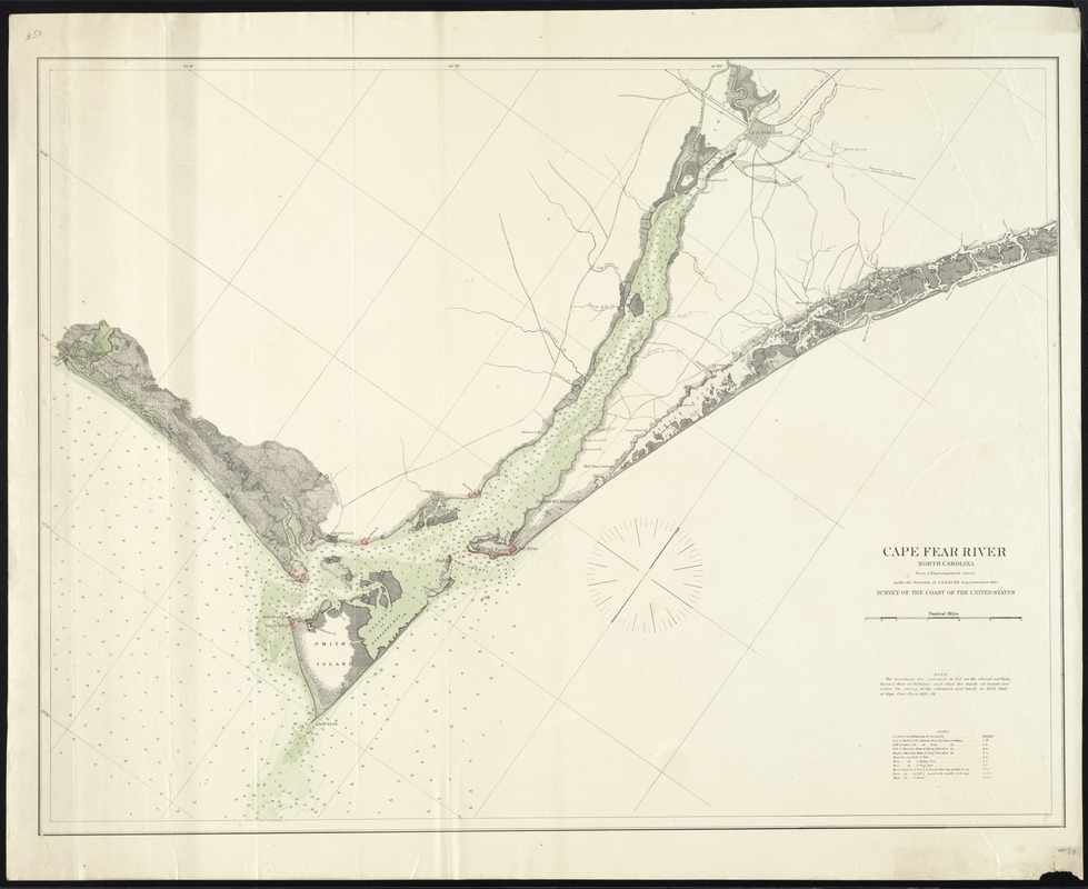
Cape Fear River North Carolina
Cape Fear River North Carolina
×
Item Information
Title:
Cape Fear River North Carolina
Contributor:
Bache, A. D. (Alexander Dallas), 1806-1867
Contributor:
United States. Office of Coast Survey
Name on Item:
From a Trigonometrical Survey under the direction of A.D. Bache Superintendent of the Survey of the Coast of the United States
Date:
[ca. 1860]
Format:
Maps/Atlases
Location:
Groton Historical Society
Collection (local):
Groton Historical Society’s Map Collection: Civil War and State and Territorial Survey Maps from the 19th century
Places:
North Carolina
>
Cape Fear
(river)
Extent:
1 map : col. ; on sheet 81 x 65 cm.
Permalink:
https://ark.digitalcommonwealth.org/ark:/50959/s1784p84j
Terms of Use:
Rights status not evaluated.
Contact host institution for more information.
Scale:
[1:70,000]
Language:
English
Notes:
Title from item.
Notes (date):
Date supplied by cataloger.
Accession #:
2014.4.50
show more...
View MODS XML
More Like This
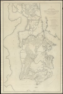
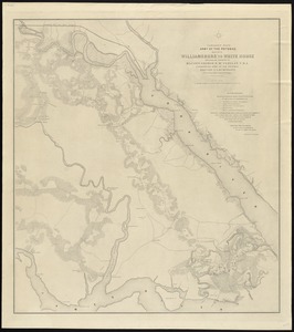
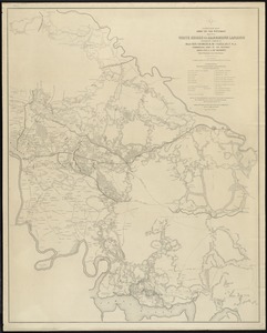
Campaign maps, Army of the Potomac, map no. 1 Yorktown to Williamsburg
Campaign maps, Army of the Potomac, map no. 2 Williambsurg to ...
Campaign maps, Army of the Potomac, map no. 3 White House to ...
Geographical and political atlas of the states and territories of ...
Find More Like This >>
Tools
Share
Facebook
Pinterest
X
Reddit
Tumblr
Email
Copy link
Add to Folder
Questions/Comments
Cite This Item
IIIF Manifest