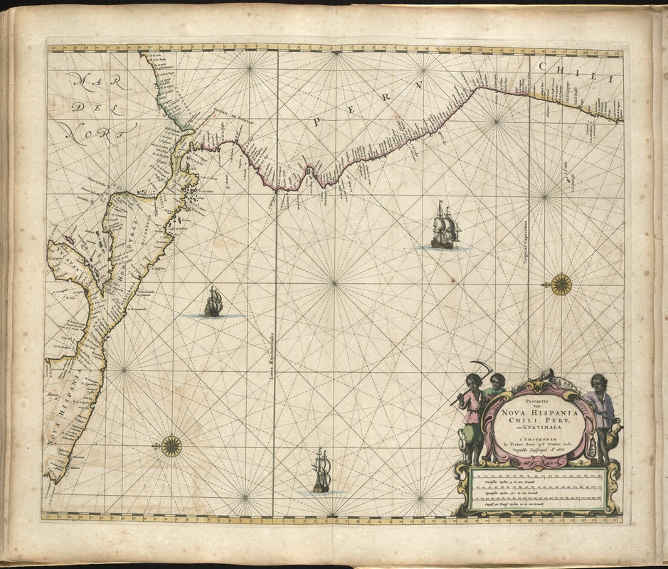
Nautical chart showing the coastline of Central America, Peru, and Chile.
Oriented with north to the left.
Appears in the author's De zee-atlas ofte water-wereld. t'Amsteldam : By Pieter Goos, 1672.
Cataloging, conservation, and digitization made possible in part by The National Endowment for the Humanities: Exploring the human endeavor.
Atlas scanned by Internet Archive http://archive.org/details/dezeeatlasoftewa00goos