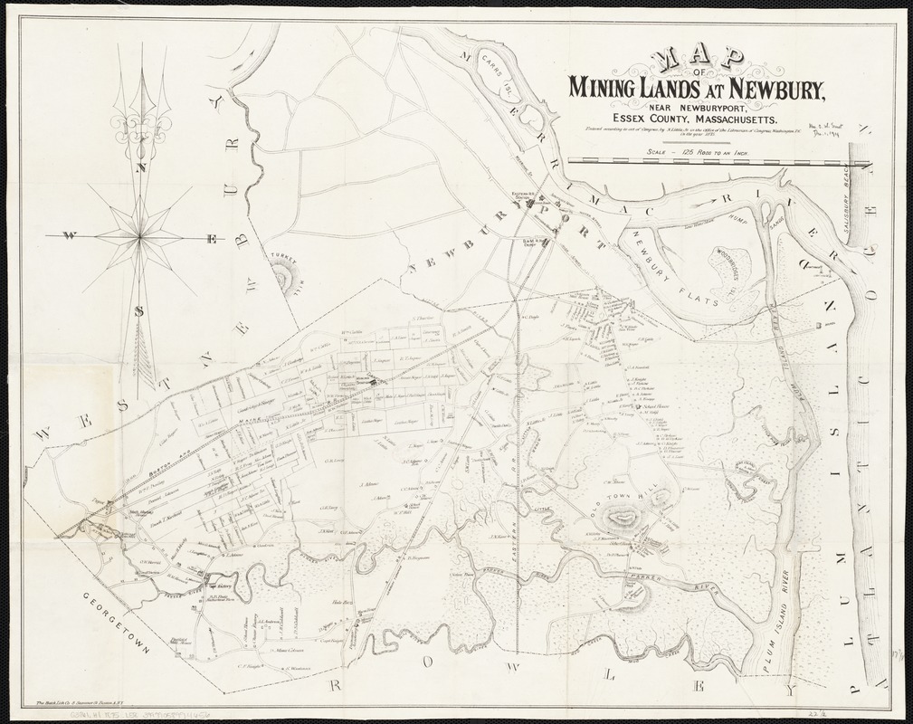
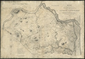
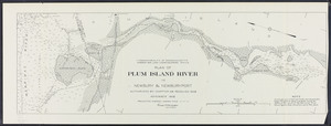
Cadastral map.
Relief shown by hachures.
Shows property boundaries or buildings with names of landowners, mining station and railroad.
"Entered according to act of Congress by N. Little, Jr. in the Office of the Librarian of Congress, Washington D.C. in the year 1875."