Skip to search
Skip to main content
Digital Commonwealth
Sign Up / Log In
Search for
Search
Search
Search
Basic
Advanced
Explore
Map
Collections
Institutions
Formats
For Educators
Primary Source Sets
Lesson Plans
Using Primary Sources
Searching Digital Commonwealth
For Institutions
Join Digital Commonwealth
Conferences, Trainings, & Events
How to Contribute Collections
Digitization Services
Board & Committees
Frequently Asked Questions
About
About Digital Commonwealth
News & Announcements
Copyright & Terms of Use
Harmful Content Statement
Partners
API
Contact Us
Boston Public Library
Norman B. Leventhal Map Center Collection
/
Boston and New England Maps (Collection of Distinction)
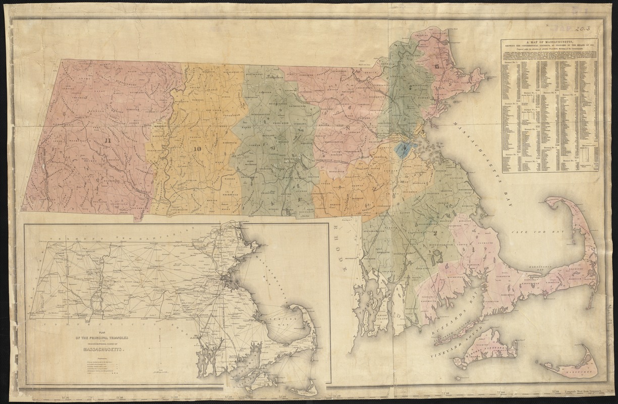
A map of Massachusetts, showing the congressional districts, as proposed by the Senate of 1852
A map of Massachusetts, showing the congressional districts, as proposed by the Senate of 1852
×
Item Information
Title:
A map of Massachusetts, showing the congressional districts, as proposed by the Senate of 1852
Creator:
Walker, Amasa, 1799-1875
Name on Item:
prepared under the direction of Amasa Walker, Secretary of the Commonwealth.
Date:
[1852]
Format:
Maps/Atlases
Location:
Boston Public Library
Norman B. Leventhal Map Center
Collection (local):
Norman B. Leventhal Map Center Collection
Subjects:
Massachusetts--Maps
Massachusetts--Administrative and political divisions--Maps
Places:
Massachusetts
Extent:
1 map : col. ; 57 x 93 cm.
Permalink:
https://ark.digitalcommonwealth.org/ark:/50959/wd376552t
Terms of Use:
No known copyright restrictions.
No known restrictions on use.
Publisher:
S.l : s.n.
Scale:
Scale not given.
Language:
English
Notes:
Includes inset: Plan of the prinicpal triangles in the trigonometrical survey of Massachusetts, and population table.
Notes (date):
This date is inferred.
Identifier:
06_01_002580
Call #:
G3760 1852 .W3
Barcode:
39999058995760
show more...
View MODS XML
More Like This
Map of senatorial districts of Massachusetts, as established by ...
Outline map of Massachusetts showing senatorial districts as ...
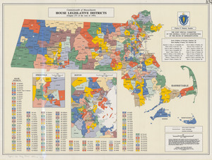
House legislative districts: Commonwealth of Massachusetts, ...
Massachusetts water resources study
Find More Like This >>
Tools
Share
Facebook
Pinterest
X
Reddit
Tumblr
Email
Copy link
Add to Folder
Questions/Comments
Cite This Item
IIIF Manifest
Downloads
Primary (full resolution, uncompressed)
(TIF, 159 MB)
Large (full resolution)
(JPEG, 13.4 MB)
Medium
(JPEG, 344 KB)