Skip to search
Skip to main content
Digital Commonwealth
Sign Up / Log In
Search for
Search
Search
Search
Basic
Advanced
Explore
Map
Collections
Institutions
Formats
For Educators
Primary Source Sets
Lesson Plans
Using Primary Sources
Searching Digital Commonwealth
For Institutions
Join Digital Commonwealth
Conferences, Trainings, & Events
How to Contribute Collections
Digitization Services
Board & Committees
Frequently Asked Questions
About
About Digital Commonwealth
News & Announcements
Copyright & Terms of Use
Harmful Content Statement
Partners
API
Contact Us
Boston Public Library
Norman B. Leventhal Map Center Collection
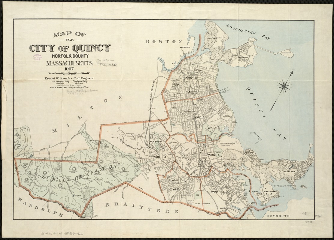
Map of the city of Quincy, Norfolk County, Massachusetts, 1907
Map of the city of Quincy, Norfolk County, Massachusetts, 1907
×
Item Information
Title:
Map of the city of Quincy, Norfolk County, Massachusetts, 1907
Creator:
Branch, Ernest W.
Name on Item:
Ernest W. Branch, Civil Engineer.
Date:
1907
Format:
Maps/Atlases
Location:
Boston Public Library
Norman B. Leventhal Map Center
Collection (local):
Norman B. Leventhal Map Center Collection
Subjects:
Quincy (Mass.)--Maps
Places:
Norfolk (county)
>
Quincy
Extent:
1 map : col. ; 50 x 66 cm.
Permalink:
https://ark.digitalcommonwealth.org/ark:/50959/x059cb78j
Terms of Use:
No known copyright restrictions.
No known restrictions on use.
Publisher:
S.l : [s.n.]
Scale:
Scale ca. [1:18,000].
Language:
English
Notes:
Relief shown by hachures.
Oriented with north toward the upper right.
Includes ward boundaries.
Identifier:
06_01_005433
Call #:
G3764.Q6 1907 .B7
Barcode:
39999059014280
show more...
View MODS XML
More Like This
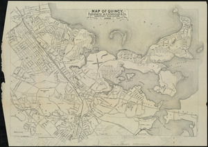
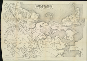
Atlas of the city of Quincy, Norfolk County, Mass. : from official ...
Atlas of the city of Quincy, Norfolk County, Massachusetts
Map of Quincy
Map of Quincy
Find More Like This >>
Tools
Share
Facebook
Pinterest
X
Reddit
Tumblr
Email
Copy link
Add to Folder
Questions/Comments
Cite This Item
IIIF Manifest
Downloads
Primary (full resolution, uncompressed)
(TIF, 159 MB)
Large (full resolution)
(JPEG, 13.3 MB)
Medium
(JPEG, 289 KB)