Skip to search
Skip to main content
Digital Commonwealth
Sign Up / Log In
Search for
Search
Search
Search
Basic
Advanced
Explore
Map
Collections
Institutions
Formats
For Educators
Primary Source Sets
Lesson Plans
Using Primary Sources
Searching Digital Commonwealth
For Institutions
Join Digital Commonwealth
Conferences, Trainings, & Events
How to Contribute Collections
Digitization Services
Board & Committees
Frequently Asked Questions
About
About Digital Commonwealth
News & Announcements
Copyright & Terms of Use
Harmful Content Statement
Partners
API
Contact Us
Boston Public Library
Norman B. Leventhal Map Center Collection
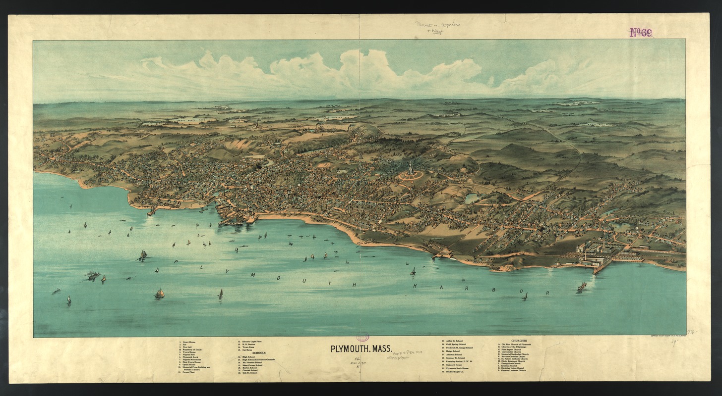
Plymouth, Mass
Plymouth, Mass
×
Item Information
Title:
Plymouth, Mass
Creator:
Walker, G. H. (George H.)
Name on Item:
Geo. H. Walker.
Date:
1910
Format:
Maps/Atlases
Location:
Boston Public Library
Norman B. Leventhal Map Center
Collection (local):
Norman B. Leventhal Map Center Collection
Subjects:
Plymouth (Mass.)--Aerial views
Places:
Plymouth (county)
>
Plymouth
Extent:
1 view : col. ; 56 x 107 cm.
Permalink:
https://ark.digitalcommonwealth.org/ark:/50959/x633f9315
Terms of Use:
No known copyright restrictions.
No known restrictions on use.
Publisher:
Boston : Geo. H. Walker & Co.
Scale:
Scale not given.
Language:
English
Notes:
Bird's-eye view.
Includes index to points of interest.
Identifier:
05_04_000093
Call #:
G3764.P7 1910 .W3
Barcode:
39999052509179
show more...
View MODS XML
More Like This
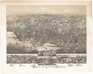
Plymouth, Mass : 1882
Plymouth, Mass. 1882
Plymouth, Massachusetts, 1897
The 100th anniversary map of Abraham Lincoln's visit to ...
Find More Like This >>
Tools
Share
Facebook
Pinterest
X
Reddit
Tumblr
Email
Copy link
Add to Folder
Questions/Comments
Cite This Item
IIIF Manifest
Downloads
Primary (full resolution, uncompressed)
(TIF, 182 MB)
Large (full resolution)
(JPEG, 15.3 MB)
Medium
(JPEG, 355 KB)